 and
and 

Tutorials
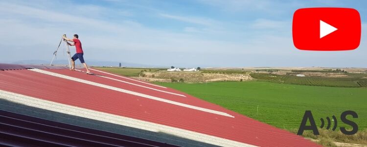
Whether you’re working in surveying, farming, or research and need to set up your own RTK base station but don’t know how to set ...

If you are located in Germany and need RTK corrections to take measurements with centimeter accuracy, the easiest way to go is to get ...

Use this practical, step-by-step tutorial to compare your real-world RTK GNSS field measurements with official cadastral boundary data — using free, ...

If you’re a land surveyor, construction professional, or engineer using SurPad for your surveying and mapping projects, this guide will walk you through the ...


If you’re looking for a high-precision GNSS receiver, you’ve probably read the terms All-band, Quad-band, and Triple-band. Is there actually any ...

Get started with Ardupilot If you’re developing a project related to unmanned vehicles like drones (UAVs), rovers, boats, or even submarines, enabling autonomous navigation ...

How to install a low cost base station for your DJI RTK drone Precision GNSS positioning is crucial for drone operations ...

Content In this tutorial we will guide you through the steps of how to connect simpleRTK3B Pro receiver powered by Septentrio Mosaic-X5 to ArduPilot. ...

Achieving centimeter-level GNSS accuracy? It’s all about choosing the right method—Real-Time Kinematic (RTK) or Post-Processed Kinematic (PPK). Our new ...

In this tutorial we will guide you through setting up the simpleRTK3B Compass (powered by the Unicore UM982 RTK module) to provide high-precision <span ...

OCAD is a Windows software that enables you to create and edit a variety of maps, including topographic, orienteering maps, on your PC or ...

