Tutorials
In this tutorial we will explain how to export your Android device surveying project created with SW Maps, Mapit GIS or Mapit Spatial to ...
For some applications you may need to use a high quality orthometric height (height above mean sea level) measurement in real time. In orthometric ...
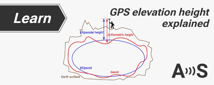
Table of contents Many customers get confused with the different heights (altitude) reported by their GNSS receiver.In this post we will show the concept ...
Post-Processed Kinematic (PPK) is an alternative to Real-Time Kinematic (RTK) for accurate positioning. Unlike RTK, PPK uses post-processing algorithms after data collection. Both the ...
Today we want to share with you how to connect ArduSimple GPS/GNSS RTK receivers to iOS devices via WiFi. If you want to connect ...
Dear followers, If you own a Medium Range (MR), Long Range (LR) and eXtra Long Range (XLR) radios or kit, you might have noticed that ...
In this tutorial we want to tell you about the interesting feature of simpleRTK2B series boards with ZED-F9P . The onboard flash memory can ...
Table of contents There are numerous GIS applications that are compatible with our devices, but SW Maps is our preferred one. It supports u-blox ...
Would you like to be connected with your PC to the Base station, and in addition of seeing the Base´s position, also see real ...
ArduSimple WiFi NTRIP Master board (aka ESP32 XBee) is in continuous development and new versions with cool new features are being released periodically. In ...
Some users have asked us how can they connect their ArduSimple boards to a Raspberry Pi and we have prepared this guide to show ...
All our Bluetooth modules come pre-configured at 38400bps which works for almost everyone.We have prepared this tutorial for those users with special needs that ...