Low-cost alternative to mobile scanners: mapping with 360° camera and GNSS
Why cheaper mobile 3D mapping tools are needed
Professional mobile scanning systems are accurate, but often cost over €50,000 like Faro Orbis mobile scanner. This makes them too expensive for small teams or schools.
There is a need for affordable alternative systems that cost around €1,000, are portable, easy to use, accurate, and work with open-source or free software. Ideally, such systems should not rely on expensive SLAM or LiDAR hardware.
Development of a €1,000 GNSS-based mapping system
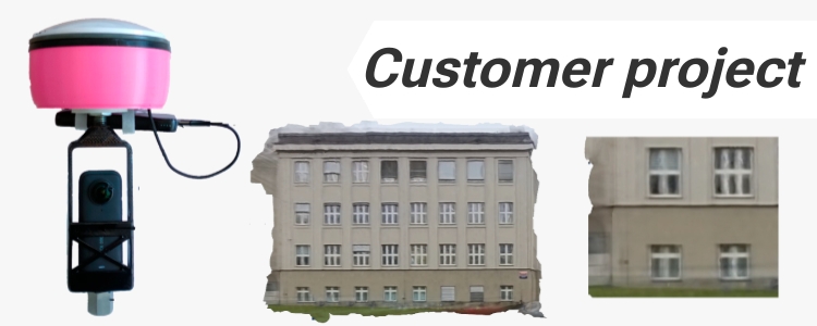
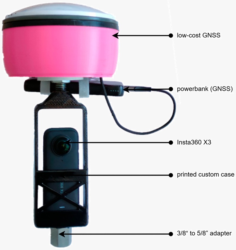
Researchers at CTU Prague developed a low-cost mapping system using affordable and readily available components. The setup included:
Smartphone + GNSS Controller app: to log RTK and raw GNSS data over Bluetooth
power bank for power supply
holder and printed custom case
To synchronize GNSS data with the images, the phone’s digital clock was recorded on video at the beginning. This timestamp was later used for alignment using a custom tool called 360VisualSync. The images were then processed into 3D point clouds using Agisoft Metashape.
Accuracy and performance of the system
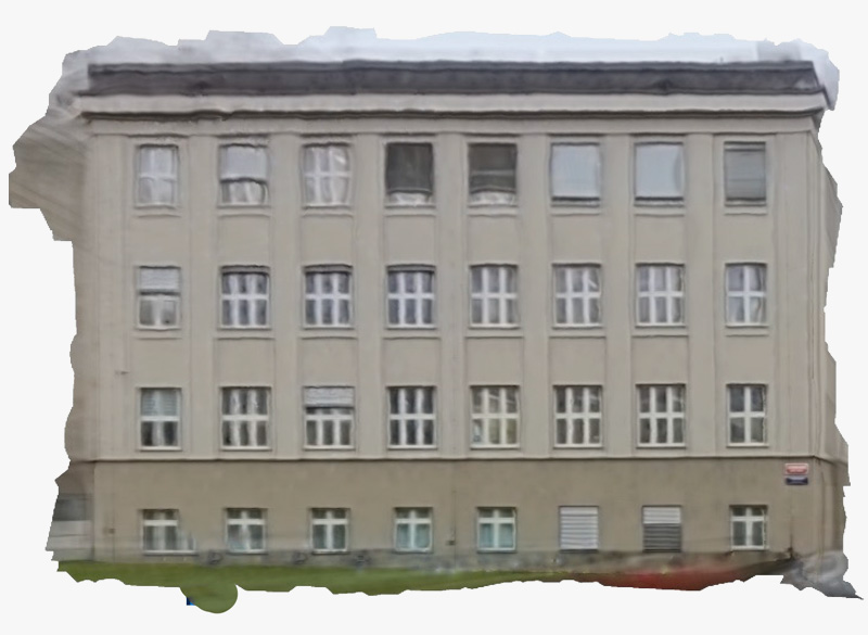
The system was tested in two outdoor environments with different conditions. It reached 5–8 centimeter spatial accuracy in urban areas, similar to SLAM and drone-based mapping. The image quality was good for mapping façades and small buildings. However, upper floors showed distortions due to fisheye lens effects and occlusion from the GNSS antenna.
The full setup costs about €1,000, making it a strong alternative to professional systems like the €60,000 Faro Orbis.
This system is ideal for small-scale mapping, rural surveys, or education. It requires manual GNSS–video time synchronization and basic photogrammetry skills to process the data. For more details check full article.
Related products
If you are developing a mapping systems, our product provide the accuracy and reliability you need. Contact us to see how our solutions can fit your project and help transform your operations.
 and
and  How to get a quotation