
Update (06/07/2026): We have plenty of stock of all our products, find us also in and    How to get a quotation

Tutorials

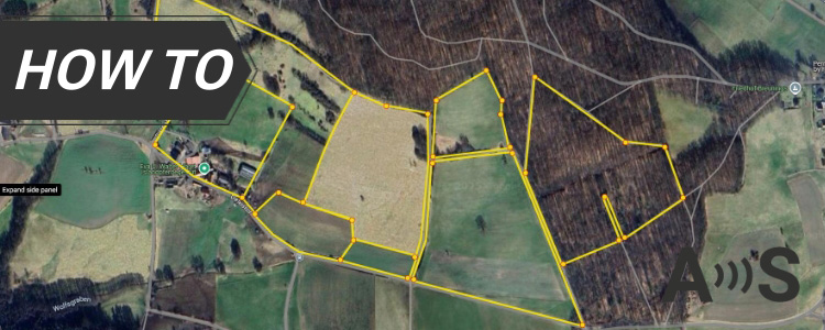
survey boundaries of the land to verify cadastral maps with RTK kit

How to survey the boundaries of your land to verify cadastral maps

Use this practical, step-by-step tutorial to compare your real-world RTK GNSS field measurements with official cadastral boundary data — using free, open-source tools like QGIS and QField.You don’t need to be a professional surveyor to follow along. This guide is built for farmers, landowners, gardeners, homesteaders, and also GIS technicians and surveyors who want to

How to survey the boundaries of your land to verify cadastral maps Read More »

How to use Ardusimple Kit on Surpad cover

How to connect ArduSimple kit to SurPad for your surveying projects

If you’re a land surveyor, construction professional, or engineer using SurPad for your surveying and mapping projects, this guide will walk you through the step-by-step process of connecting your ArduSimple RTK kit for easy integration and centimeter-level accuracy. SurPad supports external GPS/GNSS receivers and has a built-in NTRIP client, allowing you to receive real-time RTK

How to connect ArduSimple kit to SurPad for your surveying projects Read More »

cover-for-Tutorial-ardupilot

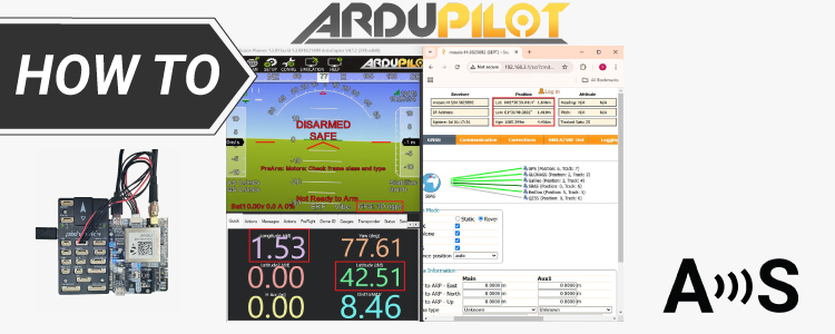
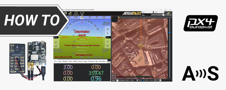
How to get started with RTK on ArduPilot (and dual antenna heading too)

Get started with Ardupilot If you’re developing a project related to unmanned vehicles like drones (UAVs), rovers, boats, or even submarines, enabling autonomous navigation requires integrating autopilot with a precise GNSS/RTK location system. While the integration process can be challenging, we have prepared this article to help you to get started. What are ArduPilot, Flight

How to get started with RTK on ArduPilot (and dual antenna heading too) Read More »

How to configure triple-band Septentrio GNSS receiver and connect it to ArduPilot

Table of contents In this tutorial we will guide you through the steps of how to connect simpleRTK3B Pro receiver powered by Septentrio Mosaic-X5 to ArduPilot. Required hardware simpleRTK3B Pro Lightweight helical GNSS Tripleband + L-band antenna (IP67) SMA antenna RF cable extender (these items are needed particularly for helical antenna) USB to USB-C cable

How to configure triple-band Septentrio GNSS receiver and connect it to ArduPilot Read More »

How-to-connect-simpleRTK3B-compass-to-Ardupilot-cover

How to set up the simpleRTK3B Compass with the Unicore UM982 in ArduPilot for high-precision GNSS heading

Table of contents In this tutorial we will guide you through setting up the simpleRTK3B Compass (powered by the Unicore UM982 RTK module) to provide high-precision GNSS-based heading in your ArduPilot project. Required hardware simpleRTK3B Compass 2 × Lightweight helical GNSS Tripleband + L-band antenna (IP67) 2 × SMA antenna RF cable extender (these items are needed particularly

How to set up the simpleRTK3B Compass with the Unicore UM982 in ArduPilot for high-precision GNSS heading Read More »

how-to-connect-ArduSimple-Kit-to-OCAD-cover

How to connect ArduSimple kit to OCAD for your mapping projects

OCAD is a Windows software that enables you to create and edit a variety of maps, including topographic, orienteering maps, on your PC or tablet. Complementing the desktop version, the OCAD Sketch App is perfect for field mapping using smartphone—ideal for creating new maps or updating existing ones based on course planner or reviewer feedback.

How to connect ArduSimple kit to OCAD for your mapping projects Read More »

Stop reading 100 pages manuals! Configure your u-blox, Septentrio or Unicore module in 1-2-3!

Have you ever struggled to find specific information in the manufacturer’s documentation? Tired of endlessly scrolling through manuals? We’re here to put an end to that. Our easy-to-use configuration guides are here to help you set up our RTK module on day one. Everything you need is covered in these step-by-step guides: How to configure

Stop reading 100 pages manuals! Configure your u-blox, Septentrio or Unicore module in 1-2-3! Read More »

How to connect ArduSimple kit to Locus GIS for your land survey work

Locus GIS is a professional GIS application for collecting and updating field geodata, creating points and lines etc. The software offers a free basic subscription which is suitable for simple geospatial tasks, and paid premium subscription options. Locus GIS includes a built-in NTRIP client that allows users to connect to an NTRIP correction service directly

How to connect ArduSimple kit to Locus GIS for your land survey work Read More »

Cover-How-to-apply-the-latest-GNSS-anti-spoofing-on-your-Septentrio

How to enable the latest anti-spoofing OSNMA service on your Septentrio receiver

GPS/GNSS signals travel 20’000 kilometers from the satellite until your GNSS receiver. It is not easy, but is technically possible, to artificially generate a fake GNSS signal from a ground station, that can confuse your GNSS receiver to think it’s elsewhere. You might have read in the news lately that this is increasingly a problem

How to enable the latest anti-spoofing OSNMA service on your Septentrio receiver Read More »

Got any questions or requests?
Contact us! We'll answer <24 hours!

Icon
Contact ArduSimple
Close
ArduSimple – high precision RTK survey equipment and solutions made simple

Want to learn more about GPS and RTK?

If you are busy right now, our engineers can send you 3 short e-mails, explaining all you need to know to start your project.