and
and 
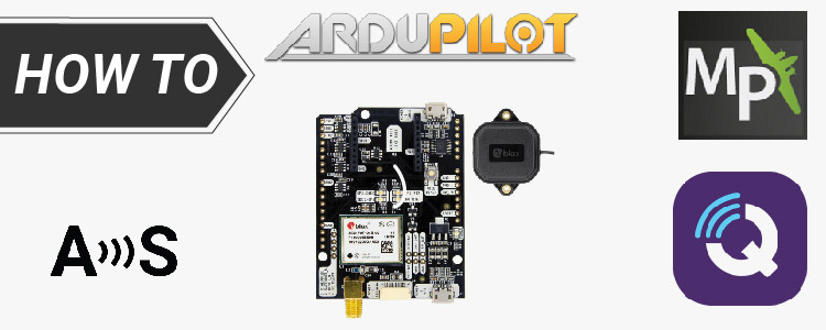
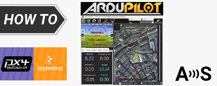
How to send RTK base station corrections to ArduPilot with Mission Planner, QGroundControl and MAVProxy
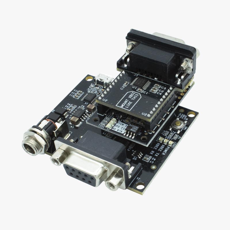
Table of contents This tutorial covers how to configure MissionPlanner and QGroundControl to send RTK corrections to the autopilot from a base station. The instructions have been tested with simpleRTK2B, simpleRTK2Blite and simpleRTK3B GNSS receivers. If you prefer to use an NTRIP service instead of your own base station, please follow the How to send […]