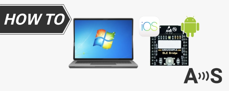
Update (04/05/2024): We have plenty of stock of all our products, find us also in and    Shop now

Tutorials

share basestation to RTK2go via 3bshield cover

How to share your triple-band Septentrio base station with RTK2go via Septentrio Native Ethernet

In this tutorial we will guide you through the steps how to setup a future-proof triple-band base station and share it with free NTRIP Caster RTK2go. If you want to deploy a base station with maximum long-term availability and maximum rover compatibility, the setup of triple-band simpleRTK3B Pro receiver is your choice. Adding Shield for

How to share your triple-band Septentrio base station with RTK2go via Septentrio Native Ethernet Read More »

cover for Tutorials FieldBee

How to use ArduSimple RTK receiver with FieldBee tractor GPS navigation app

FieldBee tractor GPS navigation app is a professional application for tractor parallel guidance, record keeping, mapping and tractor auto steering with high precision. You can use FieldBee app with non-FieldBee GPS systems like ArduSimple RTK starter kits. In this tutorial we will show you how to use ArduSimple RTK receivers with FieldBee. Required hardware: simpleRTK2B –

How to use ArduSimple RTK receiver with FieldBee tractor GPS navigation app Read More »

how to build a layout with baserover cover

How to export your control points to SW Maps and stake them out on the site

Have you done a survey of your land property to measure reference points, property boundaries, tree locations and designed the building for your site? Now, the next challenge arises: using your reliable RTK kit to accurately stake out the building corners on the site. Surveyed corners or control points create a consistent coordinate system, crucial

How to export your control points to SW Maps and stake them out on the site Read More »

Tutorial how to use ArduSimple RTK with Mapit GIS cover

How to use ArduSimple GNSS RTK receiver with Mapit GIS for mapping and data collection

Mapit GIS is a professional, cost-effective mapping and surveying tool designed to optimize productivity during your fieldwork. The application supports various file formats for input and output. Mapit’s compatibility with professional GNSS receivers empowers you to achieve centimeter level accuracy, precisely meeting your accuracy requirements whenever necessary. In this tutorial we will show you step

How to use ArduSimple GNSS RTK receiver with Mapit GIS for mapping and data collection Read More »

cover for Tutorials field navigator

How to use Field Navigator with ArduSimple RTK receiver for Enhanced Precision

Field Navigator allows connecting external receivers. But RTK receivers require access to a base station or a correction service to achieve centimeter accuracy, and this feature is not supported by Field Navigator. But no worries, as we have alternative methods to overcome this limitation. By using mock location on your Android device An economical choice

How to use Field Navigator with ArduSimple RTK receiver for Enhanced Precision Read More »

geocatchingcover

How to play Geocaching with centimeter level accuracy on Android devices

Geocaching is an outdoor treasure hunting activity using GPS devices. Participants navigate to specific coordinates to find hidden containers called geocaches. It combines technology, exploration, and community, offering an exciting way to engage with the outdoors and discover hidden gems worldwide. GPS-enabled smartphones typically offer an accuracy of about 5 meters (16 ft) with an

How to play Geocaching with centimeter level accuracy on Android devices Read More »

Got any questions or requests?
Contact us! We'll answer <24 hours!

Icon
Contact ArduSimple
Close

Want to learn more about GPS/RTK?

1. Our engineering team will contact you to solve any questions
2. We will keep you updated about promotions and new product releases
3.You will only hear from us when we have important news, we won’t spam your email