and
and 

How to play Geocaching with centimeter level accuracy on Android devices

Geocaching is an outdoor treasure hunting activity using GPS devices. Participants navigate to specific coordinates to find hidden containers called geocaches. It combines technology, exploration, and community, offering an exciting way to engage with the outdoors and discover hidden gems worldwide.
GPS-enabled smartphones typically offer an accuracy of about 5 meters (16 ft) with an open sky environment. Although this level of precision may appear satisfactory, it can lead to misdirection in real-world situations, potentially guiding users to the incorrect side of a street.
However, by utilizing a high-precision RTK receiver, the game of hide and seek can be taken to a whole new level. If you want to learn more about RTK technology, check out RTK Explained.
In this tutorial, we will show you how to play Geocaching with centimeter level accuracy on your Android device.
Required hardware:
- RTK Handheld Surveyor Kit
- Android smartphone/tablet with internet connection (make sure your device supports Bluetooth 2.0 or has USB OTG capabilities)
Required software:
- GNSS Master app (You can install it from the Google Play Store)
- Geocaching (You can install it from the Google Play Store)
How to play Geocaching with centimeter level accuracy?
Because Geocaching doesn’t support direct connection with an external receiver, we need to use the mock location. “Mock Location” is a functionality of Android OS that allows you to “fake” the position of the internal GPS, and use the position of your fancy external RTK GNSS receiver instead.
GNSS-based positioning is limited in accuracy due to several errors caused by GNSS satellites as well as the Earth’s atmosphere. To compensate for these errors and achieve centimeter-level accuracy the receiver needs to get additional information from a corrections service.
We will use GNSS Master app which has built in NTRIP Casters and PointPerfect to provide correction data input to the connected GNSS receiver.
Firstly, connect your RTK receiver to your Android device.
In this ArduSimple tutorial we will show you step by step how to:
- Install GNSS Master app.
- Enable mock location in your Android device.
- Connect your RTK receiver to your Android device.
- Get access to NTRIP correction service.
Secondly, if there isn’t a stable NTRIP Caster in your region, we will use PointPerfect correction.
Check this tutorial for getting access to PointPerfect correction.
Now you are ready to go!
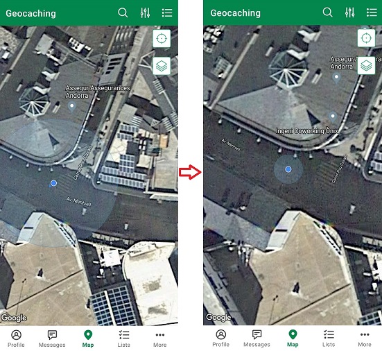
Open Geocaching, you will see a more accurate location on your map.