and
and 
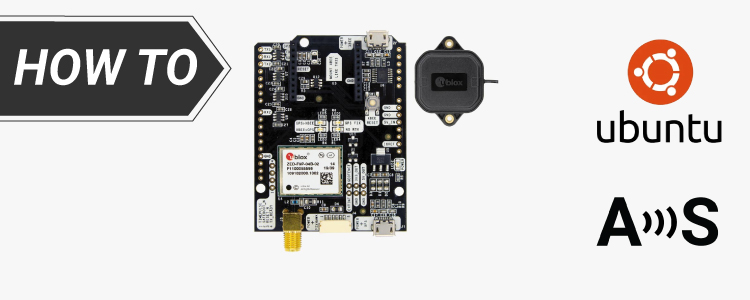
How to install u-center on Ubuntu and connect GNSS receiver to it
We’ve already detailed the process for connection and configuring u-blox GPS receivers using u-center on Windows. Following requests from several customers curious about running u-center on Ubuntu, we’ve created this tutorial. Here, we will walk you through the steps to integrate precise positioning data into your Linux projects using the ArduSimple kit powered by u-blox […]
How to install u-center on Ubuntu and connect GNSS receiver to it Read More »