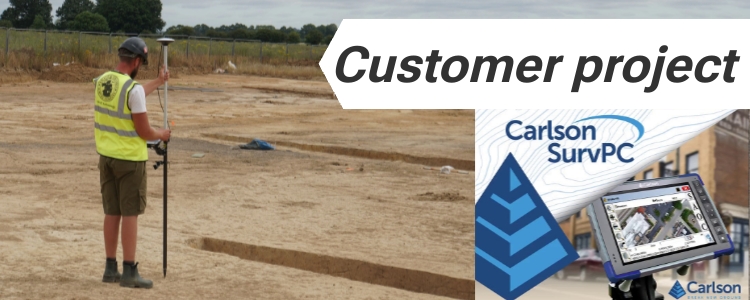
Start your surveying or high precision tasks with RTK and centimetre level accuracy
We know visitors come to this page with very different goals. Some are experienced professionals who just want quick connection settings. Others are new to RTK and need clear, step-by-step help to complete their project. To make things simple, we’ve organized the content into two paths, so choose the one that fits you best:
I’m experienced– I already know RTK, I just want to know how to connect a low-cost, yet survey-grade RTK receiver to my preferred software.
I need guidance – I want to do a specific project and need step-by-step instructions.
I’m Experienced: How connect RTK receiver with my preferred software
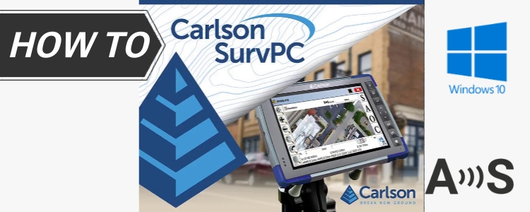
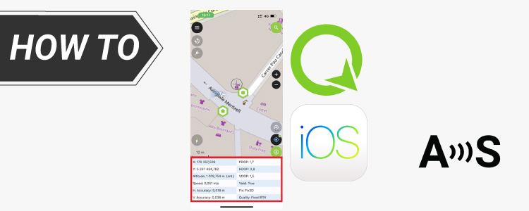
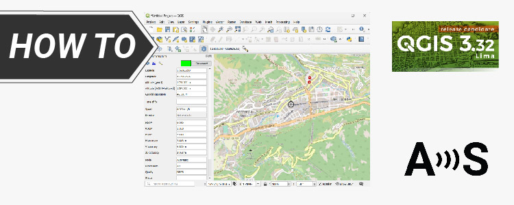
Our RTK kits work with most professional and hobby mapping software. If you already use a survey or GIS app, see our connection guides for:
If you’re new to precise mapping, but wants to mark the edges of your garden or small farm, plan where to put your fence, trees, or sprinkler system, keep a record of where you planted things or buried cables, we have good news for you – you may not pay a professional surveyor, today you can do it yourself just by using low-cost kits.
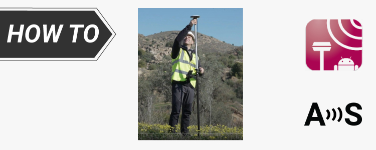
If you don’t have a favorite app yet, we recommend the free app SW Maps. It works on both Android and iOS and is great for most precision mapping jobs. With SW Maps, you can collect GPS points as you walk around, record tracks (like where you walked or drove), draw points, lines, and shapes according to your landscape design. Follow our tutorial how to use RTK kit with SW Maps.
How to use Ardusimple products with SW Maps on Android smartphones/tablets
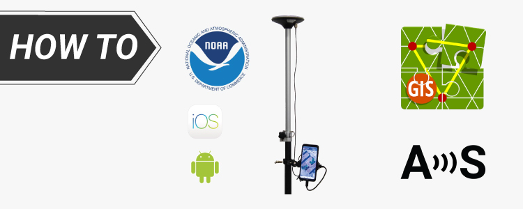
If you want to check where your property ends — for legal reasons, building a fence, or just showing your neighbor that yes, your shed is actually on your side of the property — we’ve written a step-by-step guide to help. It is useful for professionals who need to verify property lines, farmers planning where to put a fence, or sprinkler system, anyone who wants to check cadastral boundaries with precision.
How to survey boundaries of land to verify cadastral maps
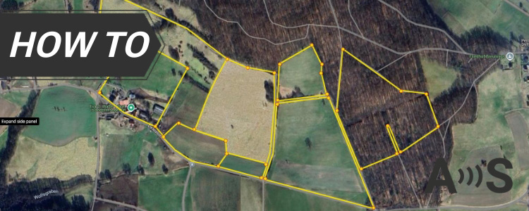
Archaeologists often work in places where every centimeter counts. To document excavation units and record artifact locations, high accuracy is essential. But you don’t need to be a professional surveyor with expensive equipment to do this kind of work. The RTK Calibrated Surveyor Kit can give you the centimeter-level precision you need — without the high cost of traditional survey tools. We’d like to share with you a customer’s archaeological project where they used our kit to map a large site.
To help you start, we recommend you apps for archaeological mapping:
Getting started? Use SW Maps — it’s free, easy, and works on Android and iOS. Great for marking finds, boundaries, and adding notes/photos.
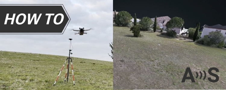
If you want to make a 3D map of your land or a site but don’t have an RTK drone — no problem! With a normal (non-RTK) drone and some Ground Control Points (GCPs) measured using your RTK kit, you can still create a very accurate 3D map. This process is also called photogrammetry and it is very useful for surveying big areas like surveying construction sites, making topographic maps, planning land improvements, creating 3D models of archaeological sites. Learn how to place GCPs for drone mapping and make a 3D map.
How to create accurate 3D photogrammetry maps using GCPs and non-RTK drone
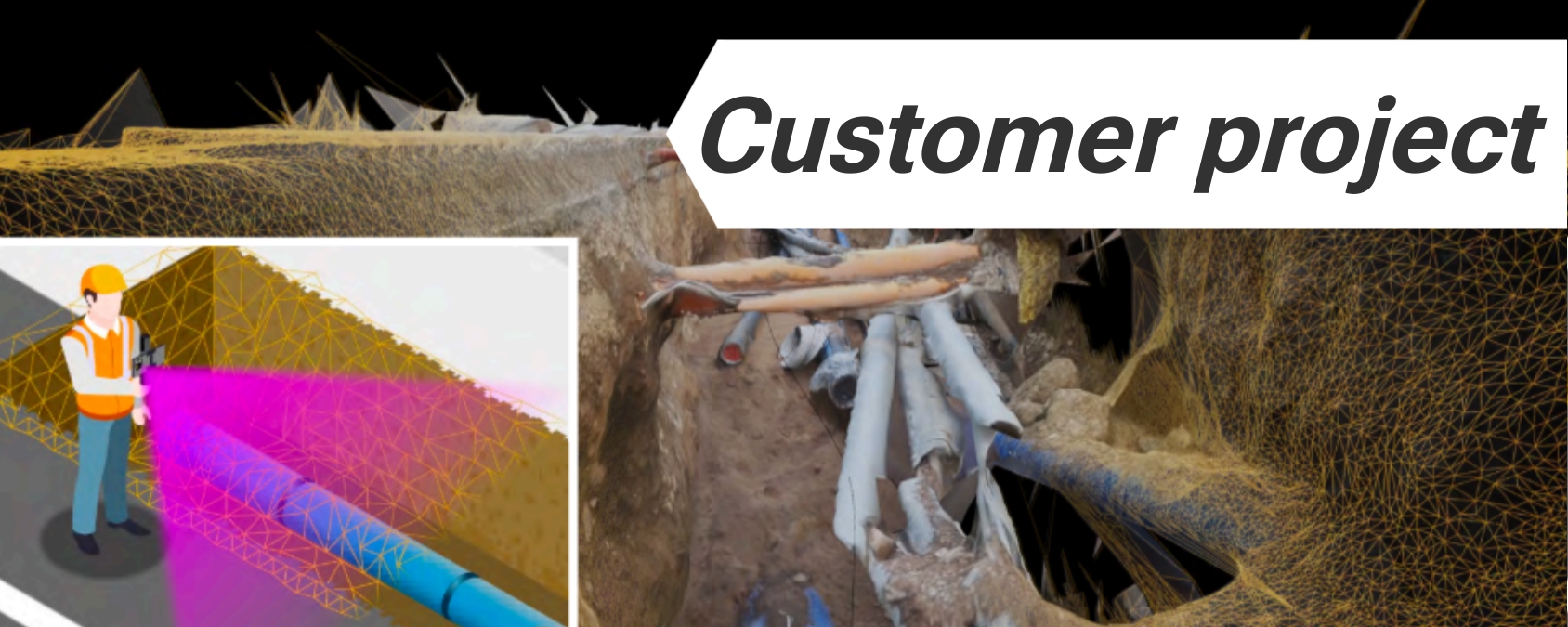
If you’re doing excavation work or documenting underground utilities, you can use your smartphone with an RTK Handheld Surveyor kit to scan the trench. With apps like 3DSurvey or 3D Photo Survey, you can scan the open trench, capture the exact position of pipes, cables, or valves, or even create a 3D georeferenced model. This helps avoid future digging mistakes — and keeps a digital record of what’s underground before it’s buried again.
If you like working with video instead of photos, when you want to just walk and scan with your phone, try RTK videogrammetry with the help of 3Dsurvey SiteScan app for Android to turn phone videos into precise 3D models. With RTK corrections, your video-based models become much more accurate — useful for quick surveys or when flying drones low to the ground.
Don't find your use case? Contact us!
Are you dealing with a use case not listed above and unsure if this technology is right for you? Just contact us — a real person (not AI) will answer you within 24 hours!
Share link was generated! Now you can copy below link to share.
If you don’t receive it, maybe you did a mistake when typing your e-mail address?
Generating link...
Share on:
Got any questions or requests? Contact us! We'll answer <24 hours!
 and
and  How to get a quotation