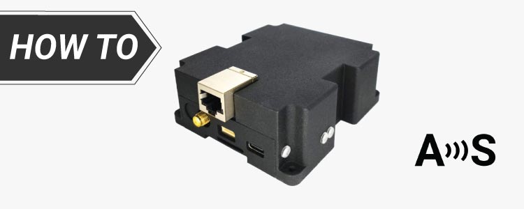
How to build a low cost tripleband CORS base station
CORS is the acronym for Continuously Operating Reference Station. In other words, a base station or a network of base stations that are available 24/7 to provide correction data. You can buy off-the-shelf CORS system for 10’000$+ for every base station. And don’t forget the juicy annual fee for the management software. Or you can […]
How to build a low cost tripleband CORS base station Read More »
 and
and 

