and
and 

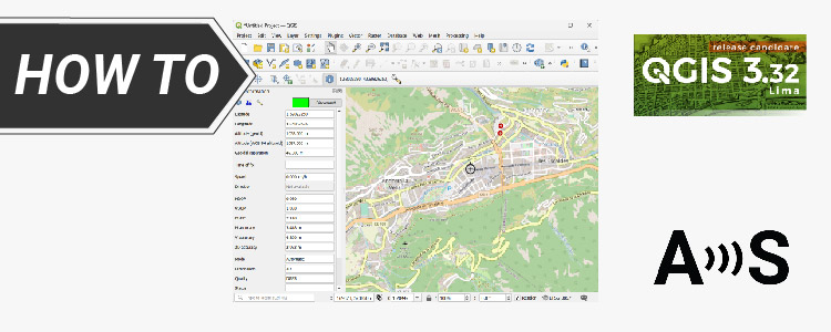
How to connect ArduSimple RTK receivers to QGIS for real time position
Table of contents QGIS is a free and open-source desktop geographic information system (GIS) app that provides data viewing, editing, and analysis. It can be used for almost any GIS application by cartographers, surveyors, foresters, etc… to visualize geographic information. In this tutorial, we’ll explain step by step how to integrate one of the ArduSimple […]
How to connect ArduSimple RTK receivers to QGIS for real time position Read More »