PointPerfect coverage has been extended to South Korea.Since September, all our South Korean customers will be able to enjoy centimeter level plug&play RTK positioning ...
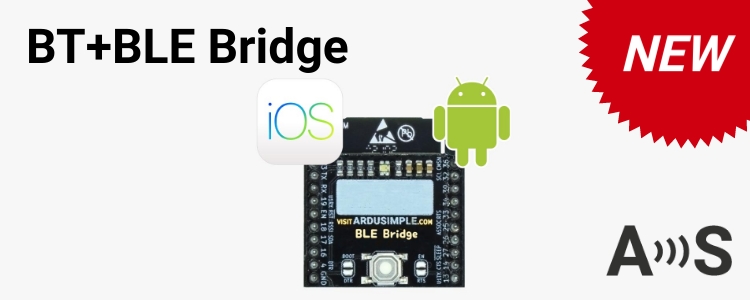
With Ardusimple BLE Bridge module, you will be able to connect to your preferred BLE (Bluetooth Low Energy) device without any complexity. The plugin ...
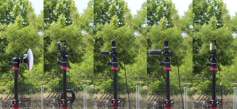
How do weird RTK GNSS antenna positions affect the receiver performance? We receive many requests asking the above question. The answer is not easy ...
PointPerfect coverage has been extended to all Ireland.As of this week many new customers will be able to enjoy centimeter level plug&play RTK positioning ...
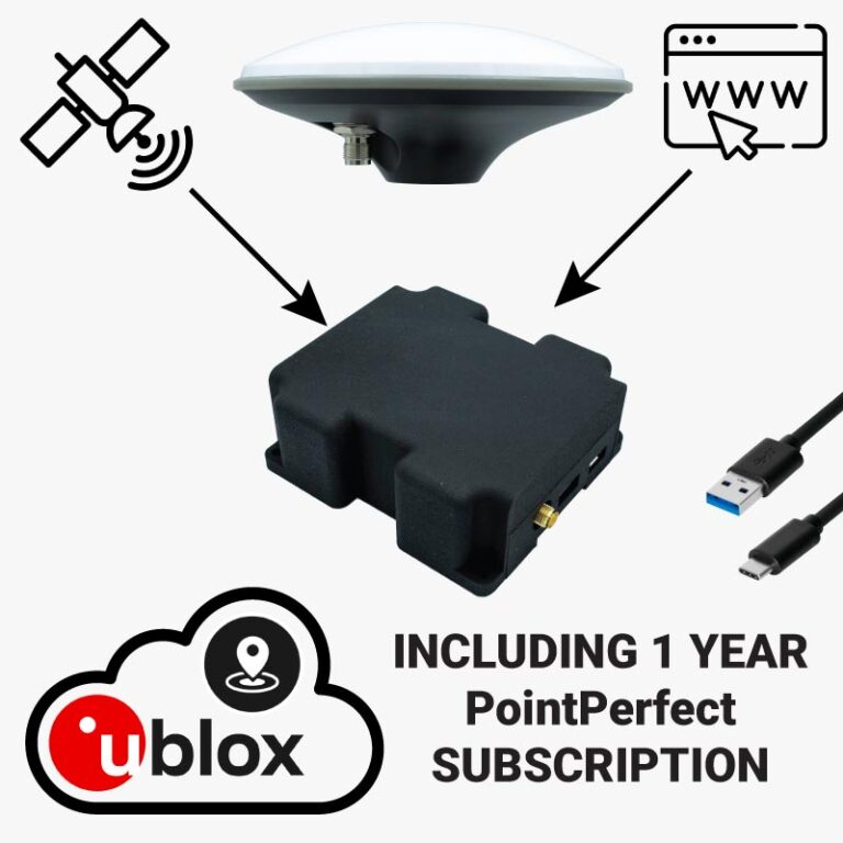
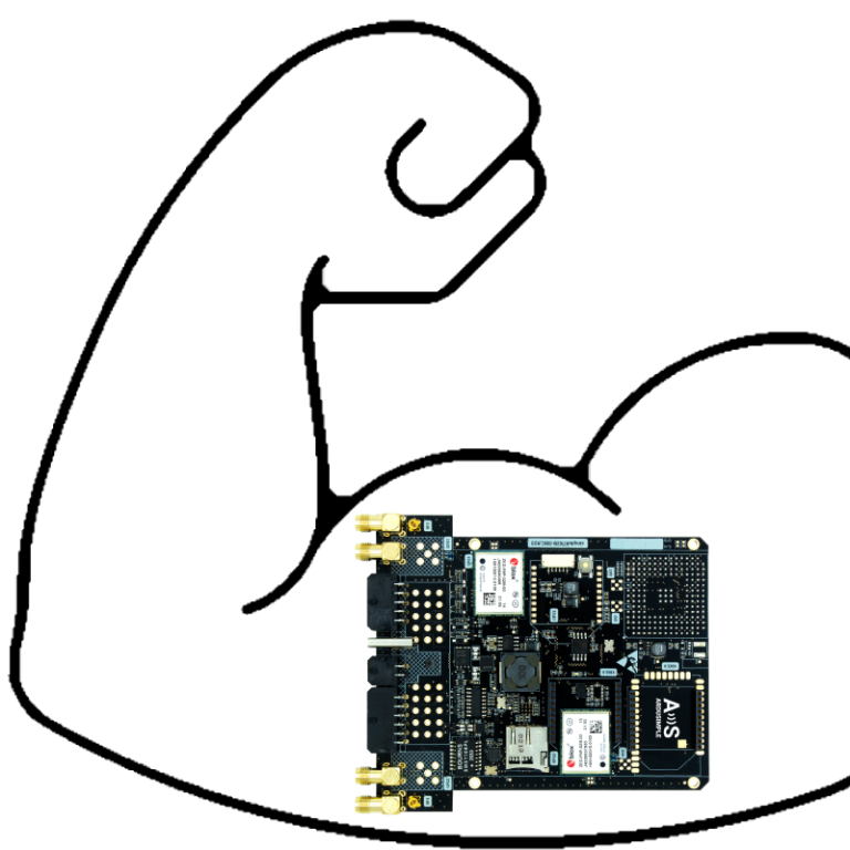
Having trouble with your NTRIP corrections and cellular coverage?Do you have issues with your base-rover line of sight range? The future is here: RTK-SSR ...
The simpleRTK2B-SBC is the most flexible product from ArduSimple.It is fully programmable on microPython with a dedicated API developed by our engineers which is ...

 and
and  How to get a quotation