 and
and 
-
Sale!
 Made in EuropePlugins
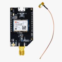
Japan CLAS Corrections L6 Receiver NEO-D9C
Original price was: 126,00€.99,00€Current price is: 99,00€. Add to cart

-
-

-
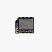 RTK3B Boards
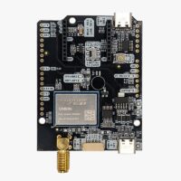
simpleRTK3B Micro Unicore
From 276,00€ This product has multiple variants. The options may be chosen on the product page