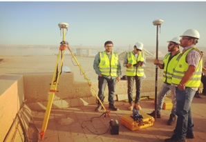
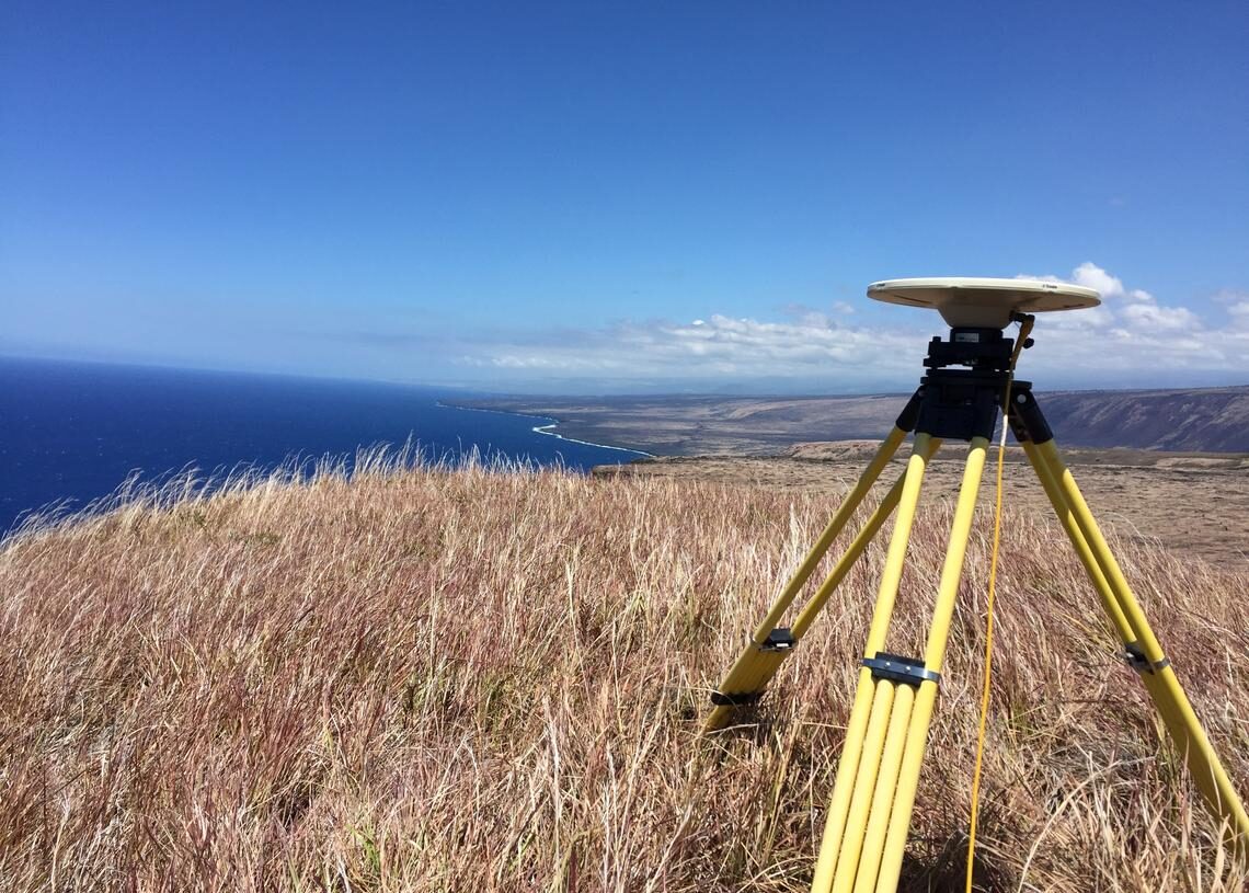
Expensive centimeter GPS-RTK technology is a thing of the past. These applications are already taking advantage of affordable and simpler to use RTK GPS/GNSS technology
• Are you dividing a plot of the land? • Is it needed to map forest trails? • Do you need to implement a pipeline project or to put cable underground? Continue…
• Are you developing a product based on RTK technology? • Is your development team new to RTK technology? • Would you like to make a fast proof-of-concept? Continue…
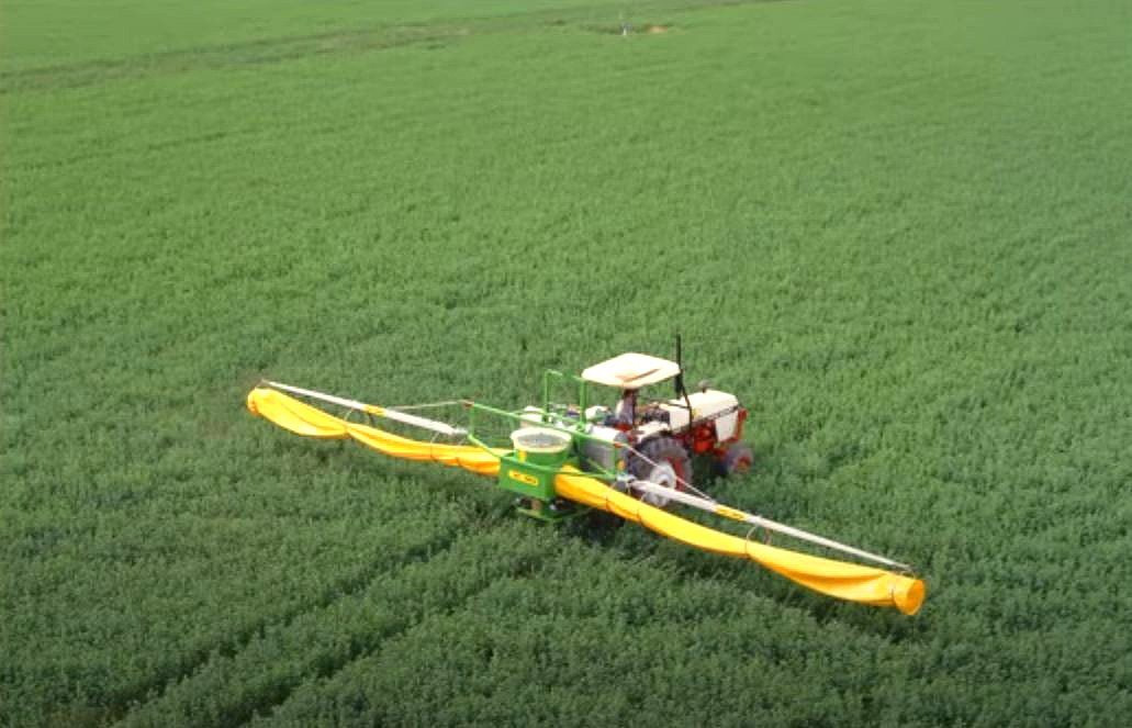
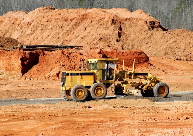
• Reduce your operating costs by saving on fuel, seeds, chemicals and time • Increase productivity thanks to driver assistance or autosteering • Drop seeds & chemicals or localize pests with centimeter precision Continue..
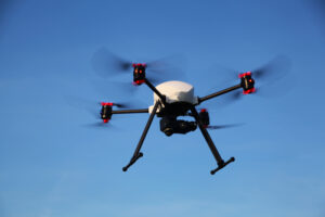
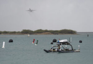
• Not happy with the precision of your drone’s landing point?
• Don’t manage to land on a moving platform?
• Would you like to georeference onboard sensors with high accuracy? Continue…
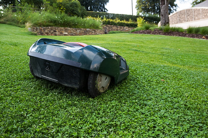
• Your lawnmower is cutting your neighbor’s plants? • Is your autonomous robot overlaying when doing pass to pass? • Your sensor calibration is not good enough because of poor GPS? Continue…
• Looking for a heading (GPS compass) or full attitude system (AHRS) that is affordable?
• Your existing Inertial Navigation Unit drifts too much over time?
Continue…
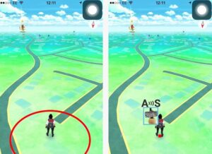
• Are you passionate about location-based games? • Do you play Geocaching, Pockemon GO, Waymarking etc? Are you a scout? • Are you a developing location-based game? Continue…
• Existing GPS tracking systems are not accurate enough? • Do you need to track your fleet to the centimeter? • Airport , seaport & carpark management can now be tracked with centimeter precision at affordable cost. Continue..
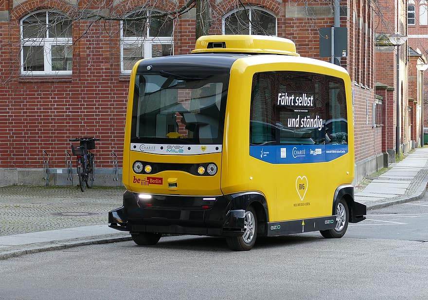
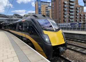
• Knowing the train’s precise position, velocity and heading is one of the key components to enabling smart railways. • Semi or fully automated trains can deliver service timed to the second, optimize energy use and increase railway safety. Continue..
Smart machines, robots and devices are finding their way to every industry. Wherever there is a need for accurate centimeter level positioning GPS/GNSS correction networks can supply the data needed to augment stand-alone GNSS. Continue..
Sports and Racing
• Not happy with the accuracy of your GPS-based timing system? • Would you like to know your path was 2 centimeters right or left from the previous lap? • Would you like to measure the pitch and roll of your racecar?
Your industry?
Are you in an industry not listed above and you are not sure if this is the right technology for you? Just contact us, we always answer.
Got any questions or requests? Contact us! We'll answer <24 hours!
1. Our engineering team will contact you to solve any questions
2. We will keep you updated about promotions and new product releases
3.You will only hear from us when we have important news, we won’t spam your email
 and
and