Precision Agriculture
Power tractor guidance, drone spraying, and precision planting with RTK GPS
When using RTK systems in agriculture, you can perform field agricultural work with an accuracy of 1cm. This level of precision enables reduced overlap, optimized routes, and more efficient use of time, fuel, and inputs. If you want to understand how RTK works, we recommend our video: Back to basics: How is it possible to get centimeter accuracy with GPS.
If you’re willing to benefit from RTK — even if you’re completely new to the technology —with Ardusimple, it’s now easier than ever. Select the case that best matches your needs and follow our step-by-step tutorials to start farming with centimeter-level accuracy, reduce operational costs, and increase your yield.
I need a visual steering assist for my tractor
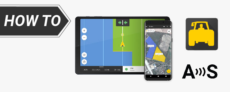
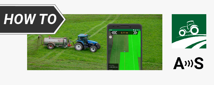
If you own a farming machine—whether it’s old, low-cost, or a new model with only basic features—and need visual guidance to see where you’ve already passed in the field while seeding, irrigating, or fertilizing, RTK technology is quite easy to integrate.
You don’t need to be a technician or programmer. All you need is your phone or tablet, an RTK kit, free visual guidance software, and a couple of hours to follow our tutorials, which will guide you through everything—from mounting the GPS to running the software. You’ll get visual guidance lines on your screen. It’s a cost-effective way to modernize your tractor without replacing your current equipment or hiring external help. Apps like FieldBee Tractor GPS Navigation and Field Navigator are easy to set up, but they’re suitable only if visual guidance is sufficient for your needs.
If you’d like to start with visual steering assistance but plan to upgrade to full autosteer in the future, we recommend AgOpenGPS. It’s an open-source platform that supports both visual guidance and autosteer, allowing your project to grow as your needs evolve. However, setting up autosteer with AgOpenGPS will require more time and some hands-on work later on.
We need to warn you that one of the drawbacks of visual guidance is that it can be challenging for manual driving to maintain precision, especially in uneven terrain. The tractor’s path may deviate significantly, particularly when making turns, leading to larger errors along the route. These inaccuracies can affect the overall efficiency of farming operations. However, this issue can be resolved by using autosteer.
I want to enable autosteering on my tractor
The limitations of visual guidance can be overcome with autosteering, which provides automated control for consistent and accurate navigation—regardless of terrain. This reduces errors and improves overall precision. AgOpenGPS is a free, open-source software that supports both levels of integration:
- Visual guidance only – very easy to get started (we have prepared a step-by-step tutorial).
- Autosteer – requires more effort; you’ll need to explore community-driven documentation to implement it.
So that if you’re aiming for autosteering, we recommend starting with our tutorial How to connect a GNSS RTK Receiver to AgOpenGPS for visual guidance. It’s a solid first step before moving on to full autosteer, once you’re ready to invest more time in integration. For autosteer setup, refer to the AgOpenGPS Discource resources.
I want to map my field with high precision but have no experience in land surveying
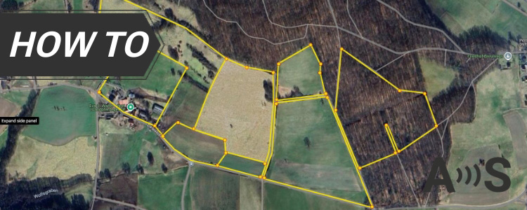
GNSS RTK technology is transforming how agriculture is done globally. Farmers are increasingly using RTK receivers to create precise digital maps of their fields, mark property lines, manage field zones based on soil or crop characteristics, and carry out detailed agricultural analysis.
Need to survey the boundaries of your land to verify cadastral maps? Use this practical, step-by-step tutorial to compare your real-world RTK GNSS field measurements with official cadastral boundary data — using free, open-source tools like QGIS and QField. You don’t need to be a professional surveyor to follow along.
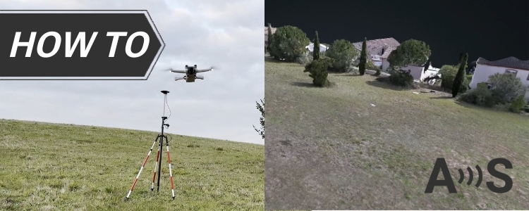
You can also create accurate 3D map of your field with just cheap drone. Yes, even with a basic drone, you can create accurate photogrammetry maps. Explore more here RTK for Drones and UAVs: I have a low cost drone without RTK.
I’m developing a robot or UAV for precision farming
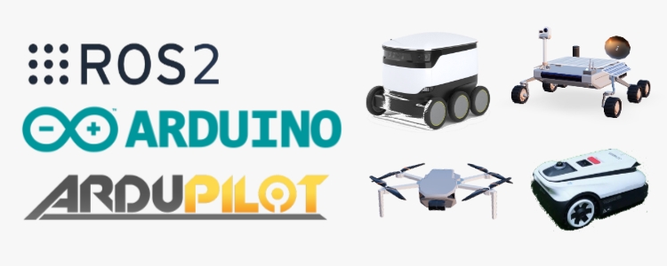
Whether you’re building a robot for precision planting or autonomous pruning, or a drone that handles spraying, irrigation, or fertilizing, one thing is certain — you’ll need reliable, centimeter-level positioning. If you’re not sure how to start integrating GNSS into your system, you can find useful resources at ArduSimple. We prepared practical docs:
- If you’re not sure how to start integrating GNSS into your system, you can find useful resources at ArduSimple. We prepared practical docs:
- guidance on selecting the right platform: Arduino, Ardupilot/Pixhawk, ROS2
- RTK module recommendations and integration tutorials for different use cases
These materials can help you get started with hardware selection and basic integration, depending on your system requirements.
Don't find your use case? Contact us!
Are you dealing with a use case not listed above and unsure if this technology is right for you? Just contact us — a real person (not AI) will answer you within 24 hours!
 and
and 

