 and
and 

Video tutorial: Create centimeter-accurate 3D maps with a non-RTK drone
Have a basic drone without RTK but still want to create centimeter-accurate 3D maps? You can.In this video tutorial, you’ll learn to place ground control
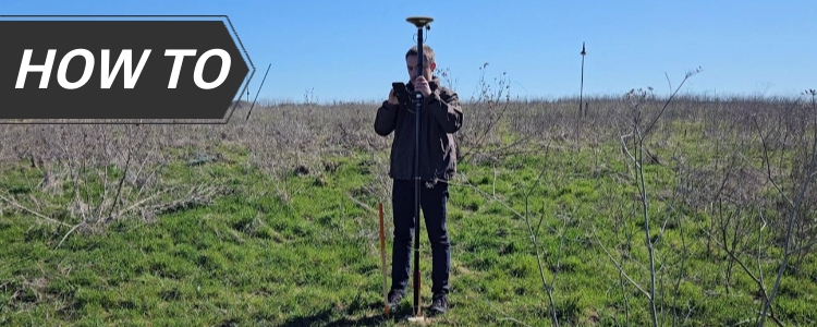
How to solve boundary disputes with your neighbor using RTK kit
If you and your neighbor aren’t sure where the property line really is, it can get tense fast. The good news is, you can clear
How to calculate the volume of soil or gravel to check the contactor’s quotation
In construction and earthworks projects, one of the most common questions is: how much soil or gravel has really been moved? Contractors often provide volume
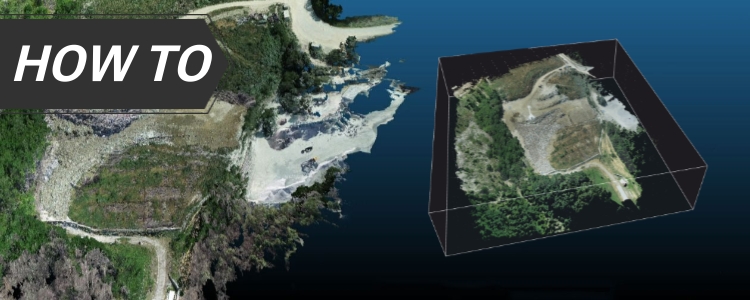
Low-cost alternative to mobile scanners: mapping with 360° camera and GNSS
Why cheaper mobile 3D mapping tools are needed Professional mobile scanning systems are accurate, but often cost over €50,000 like Faro Orbis mobile scanner. This
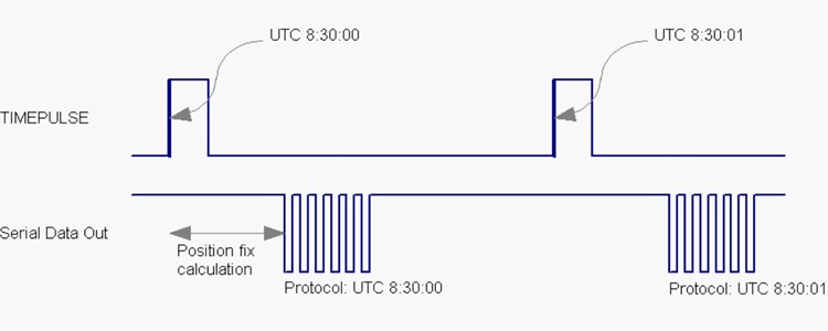
Understanding GPS Timepulse or PPS
Forget for a moment about GPS position. A GPS or GNSS also calculates time. And it does it very accurately. As precise as 10 nanoseconds.

How to use RTK kit with OpenGrade for earthworks GPS grading
OpenGrade is a free and open-source GPS grading software for Windows 10. It’s designed to help with elevation and position indication for machinery like dozers,
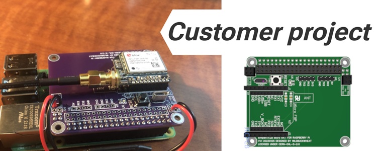
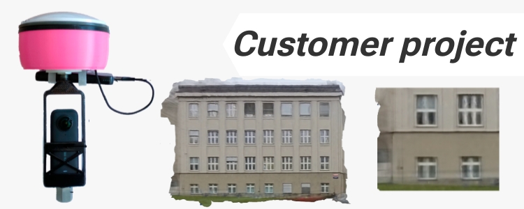
Customer project: Raspberry Pi HAT for ArduSimple Micro series
Today we want to share a customer project that might be interesting for the PCB manufacturing enthusiasts. Github’s user WildBuckwheat developed a PCB board to
Holybro stopped shipping
Holybro is a company specialized in flight controllers, GPS, and other drone-related components. We have a few tutorials on how to connect ArduSimple RTK receivers

How to connect low cost RTK kit to Carlson SurvPC for archaeological surveying
We’ve received many questions about how to pair the ArduSimple RTK kit with the Carlson SurvCE or SurvPC software. So today, we’ll walk you through
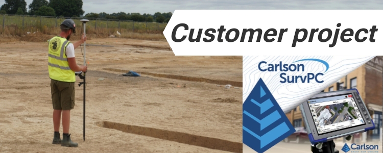
Reliable archaeological surveys with low cost RTK kit
Mapping a bronze age cemetery in Sellindge, UK A team of archaeologists recently carried out a detailed survey at a Bronze Age barrow cemetery near
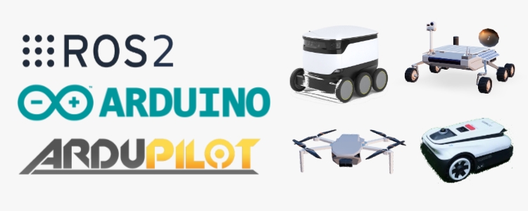
Land, sea, or air robots: how to choose the platform for project with GPS
If you’re building an autonomous vehicle (whether it’s a ground Rover, a drone, or a marine robot), choosing the right platform is key to speed

New product: Ground Control Points (GCP) for drones
Our set of 10 UAV ground control points are cost-effective targets for your drone survey project. Whether you are doing photogrammetric or LiDAR 3D surveying,