Portable 3D tracking system to test agricultural robots in the field
The challenge: how to test autonomous robots reliably
Testing autonomous agricultural robots is not easy. Farmers and researchers need to know if these machines can work safely and stay inside defined areas (geofences). Existing test setups were limited: they were fixed in place, could only track one object, and did not work well in real fields with changing conditions. The University of Applied Sciences Osnabrück was looking for a mobile solution that could provide reliable “ground truth” data – a real reference to compare the robot’s performance against.
The solution: a mobile 3D station network
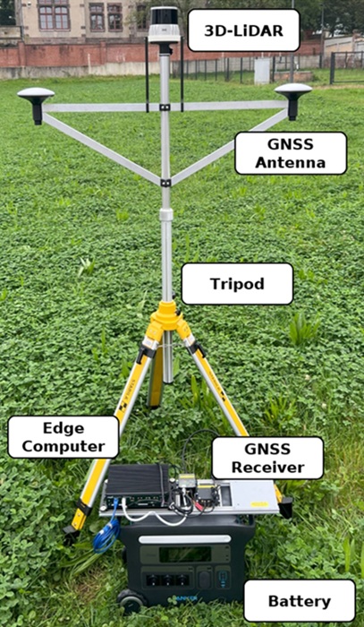
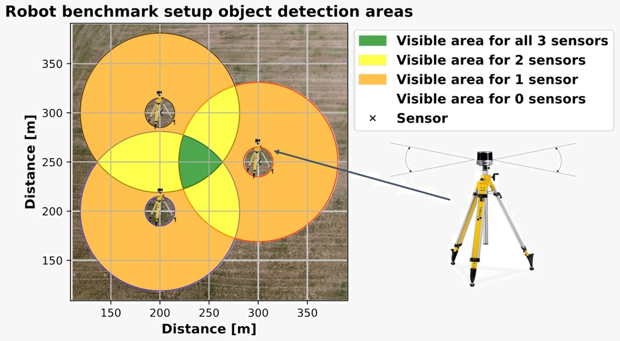
The team built a portable station network that could be set up directly in fields and be moved from field to field easily. Each station included:
- 3D LiDAR to scan the environment
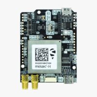
- a simpleRTK3B Heading (mosaic-H) receiver with dual antennas for precise positioning, heading and time synchronization of the stations
- an Nvidia Jetson platform running ROS for data processing
- a battery for full mobility
- a tripod to mount the antennas and LiDAR
The simpleRTK3B Heading board with two antennas provided:
- Precise position of each station, so the map was correctly placed in the field.
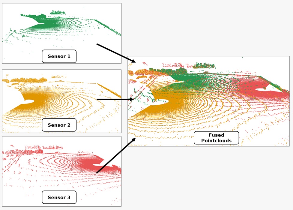
- Heading (orientation), so LiDAR data from different stations could be aligned without errors. Learn How GPS can help you measure the real heading of your vehicle.
- Accurate satellite time synchronization, so every station captured data at exactly the same moment. If you want to learn more about GPS Timepulse, check our post Understanding GPS Timepulse or PPS.
It allowed all LiDAR scans to be merged into one reliable 3D map and made it possible to track the robot with high accuracy in real time. This setup made it possible to detect and track the agricultural robot, calculating its size, orientation, and position with high accuracy across fields larger than 26,000 m².
Results: accurate tracking under real conditions
The system is mobile and does not need fixed infrastructure. Using the simpleRTK3B Heading board, the team built a ground-truth environment that delivers precise 3D tracking of robots under real conditions. This “independent referee” measures the robot’s true position and movement, making it possible to check if its own sensors work safely and correctly. Read full article here.
Related products
If you are developing a GNSS project, our product provide the accuracy and reliability you need.
-
RTK3B Boards
simpleRTK3B Heading
From 699,00€ This product has multiple variants. The options may be chosen on the product page
 and
and 

