Update (27/05/2026): We have plenty of stock of all our products, find us also in and    How to get a quotation

CustomerProjects

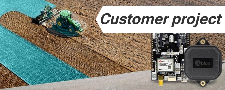
Using the ArduSimple Kit with AgOpenGPS for Lightbar Visual Guidance

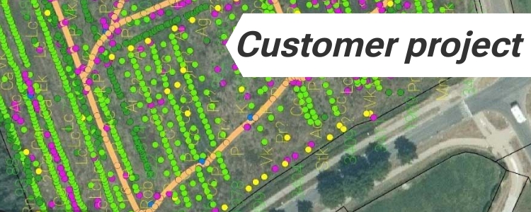
Are you struggling with overlaps or missed areas during planting or spraying? These challenges are common in precision farming, but with the right tools, they can be easily resolved. Using the ArduSimple Kit with AgOpenGPS, you can achieve lightbar visual guidance to optimize your farming operations and boost productivity. What is AgOpenGPS? AgOpenGPS (AOG) is […]

Using the ArduSimple Kit with AgOpenGPS for Lightbar Visual Guidance Read More »

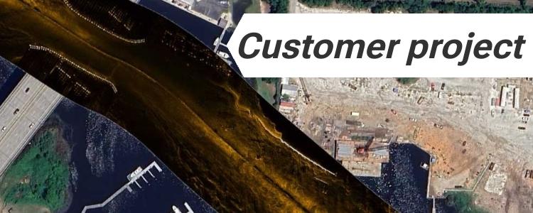
Exploring fish habitats and reefs with scan sonar and ZED-F9P RTK receiver

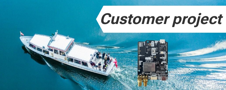
Exploring fish habitats and reefs with scan sonar and ZED-F9P RTK receiver Autonomous boat with RTK for hydrographic surveys RTK technology is continuously reshaping industries, and the field of hydrographic surveying is no exception. Using ArduSimple RTK products for centimeter-level accuracy, our customer has developed an autonomous boat designed for side-scan sonar and hydrographic surveys.

Exploring fish habitats and reefs with scan sonar and ZED-F9P RTK receiver Read More »

customer-project-electric-swans-cover

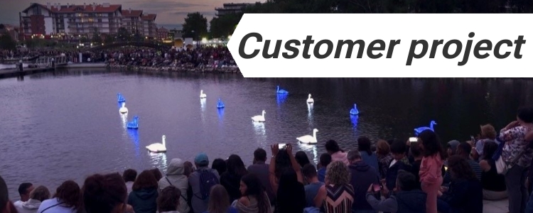
Transforming Electric Swans into Water Ballet Performers

Imagine trying to choreograph a group of robotic swans to perform a delicate ballet on water. That’s exactly what Loomaland, a studio known for blending art with technology, set out to achieve with their CYGNUS project. However, what happens when technology falters in the face of environmental challenges? The initial performance on Lake Lucerne was

Transforming Electric Swans into Water Ballet Performers Read More »

foodforest cover

Precision design and monitoring of food forest crops with GNSS

Precision design and monitoring of food forest with GNSS What is a Food Forest and how GNSS can help? Food forests are biodiverse production systems designed to work like natural forests, with 30–80 types of crops grown together in a planned layout. Managing these complex systems needs precision, and that’s where GNSS technology steps in.

Precision design and monitoring of food forest crops with GNSS Read More »

GNSS-Compass-for-boat cover

Accurate GNSS Compass and Antenna Pointing System for your boat

Accurate GNSS compass and antenna pointing system for your boat Have you been thinking about adding an precice navigation system to your boat but are worried about the cost? High-quality GNSS compass systems typically range from $3,000 to $5,000, putting them out of reach for many. Good news—you can now put together a precise system

Accurate GNSS Compass and Antenna Pointing System for your boat Read More »

Create a digital map of underground utility pipelines with RTK

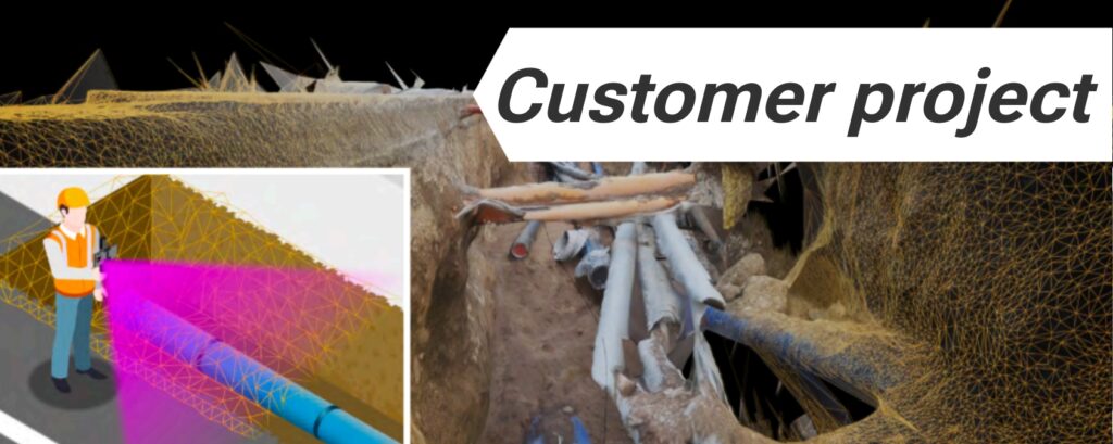
At Ardusimple, we pride ourselves on empowering our customers to harness the full potential of RTK technology in innovative ways. One such application is vividly illustrated through our collaboration with a customer who has seamlessly integrated our RTK Handheld Surveyor Kit with Arcoda Next software, to revolutionize the way network infrastructure is digitized and managed.

Create a digital map of underground utility pipelines with RTK Read More »

Movement monitoring of the world’s longest walking bridge with ArduSimple

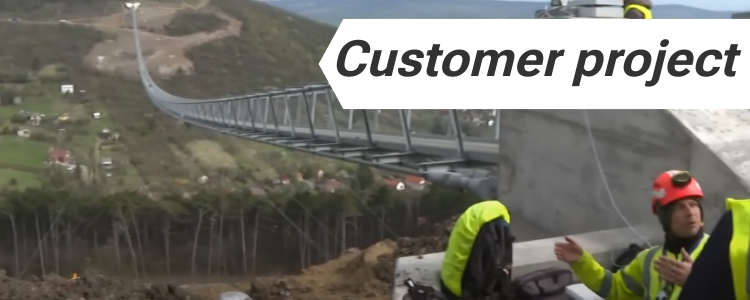
In the civil engineering, safeguarding the structural integrity and safety of bridges is paramount. Real-Time Kinematic enables the detection and precise measurement of even the slightest movements or deformations within bridge structures. Monitoring world’s longest walking bridge with the help of ArduSimple A notable application of ArduSimple RTK system in bridge monitoring was demonstrated during

Movement monitoring of the world’s longest walking bridge with ArduSimple Read More »

Volcano deformation monitoring with ArduSimple affordable GNSS/RTK

It has long been recognised that volcanoes and in particular its calderas deform as fluids migrate. The Rabaul Caldera in Papua Guinea is a type example of a caldera that undergoes complex and occasionally rapid deformation. Monitoring these deformations with RTK technology is not something new, but historically has been an expensive task not affordable

Volcano deformation monitoring with ArduSimple affordable GNSS/RTK Read More »

Field testing of u-blox zed-f9p simpleRTK2B Lite on the South Carolina Virtual Reference Network cover

Field test evaluation of simpleRTK2B Lite ZED-F9P on the South Carolina Virtual Reference Network

Table of contents Introduction In 2020, Professor Michael E. Hodgson, from the Department of Geography, University of South Carolina, Columbia, SC, USA completed a rigorous field test evaluation of the RTK Portable Bluetooth Kit operating in RTK mode on the South Carolina Virtual Reference Network (SCRTN). Professor Hodgson was in the process of retiring his Topcon

Field test evaluation of simpleRTK2B Lite ZED-F9P on the South Carolina Virtual Reference Network Read More »

Customer PocketLocator with u-blox zed-f9p and GIS4Mobile app

PocketLocator with GIS4Mobile app: Ultracompact RTK receiver for pole mount made in Denmark

Pocket Locator: Objectives The customer’ project aims to create a small, lightweight, and affordable GNSS receiver that provides centimeter-level positioning using RTK. It targets mobile field users who need higher accuracy than standard GPS without using bulky surveying equipment and make compatible with both Android and iOS devices. Specifications and Performance This customer’s ultracompact RTK

PocketLocator with GIS4Mobile app: Ultracompact RTK receiver for pole mount made in Denmark Read More »

Got any questions or requests?
Contact us! We'll answer <24 hours!

Icon
Contact ArduSimple
Close
ArduSimple – high precision RTK survey equipment and solutions made simple

Want to learn more about GPS and RTK?

If you are busy right now, our engineers can send you 3 short e-mails, explaining all you need to know to start your project.