and
and 
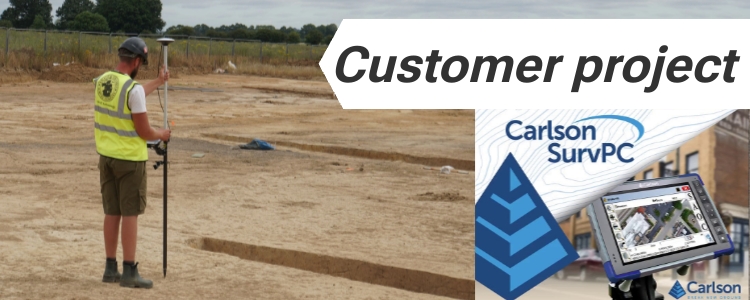
Reliable archaeological surveys with low cost RTK kit
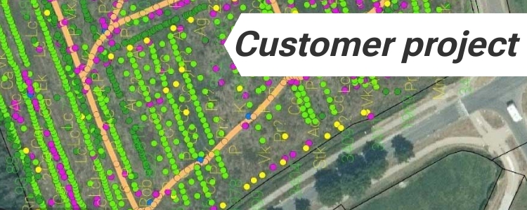
Mapping a bronze age cemetery in Sellindge, UK A team of archaeologists recently carried out a detailed survey at a Bronze Age barrow cemetery near Sellindge, Kent, UK. The site includes several burial mounds/barrows and traces of ancient settlements. During the work, an inverted-urn cremation burial was also uncovered in the center of one of […]
Reliable archaeological surveys with low cost RTK kit Read More »