Mapping Japan’s islands for better infrastructure management
Overview
As part of our mission to support accurate positioning solutions in challenging environments, ArduSimple was proud to contribute GNSS technology to an outdoor Street View mapping project carried out by 360tvr for Kyushu Electric Power Transmission and Distribution Co., Inc.
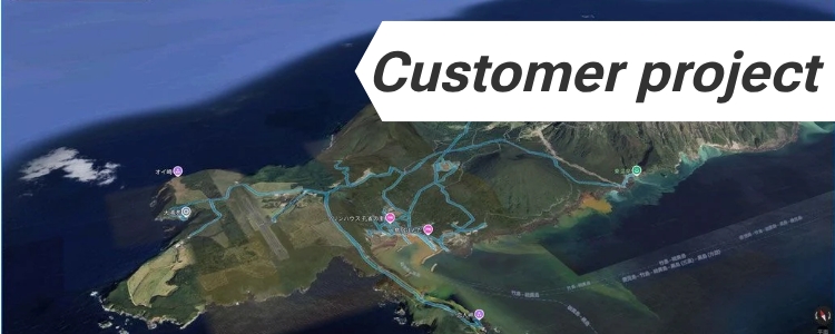
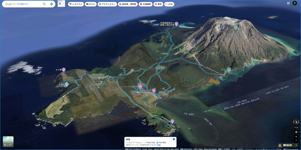
The project focused on creating digital maps of 10 remote islands located in the Tokara Islands and Mishima Village, Kagoshima Prefecture, Japan.
These islands are located in a remote area where reliable infrastructure management is essential. Among the 10 islands surveyed, 7 had never previously been captured by Google Street View, making it difficult to understand local conditions for infrastructure inspections and maintenance.
The objective of the project was to visualize these previously unmapped areas and create a digital infrastructure management platform that could help support a stable and reliable electricity supply.
The challenge: accurate positioning in remote environment under canopy
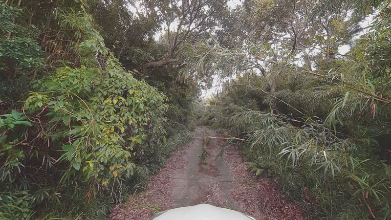
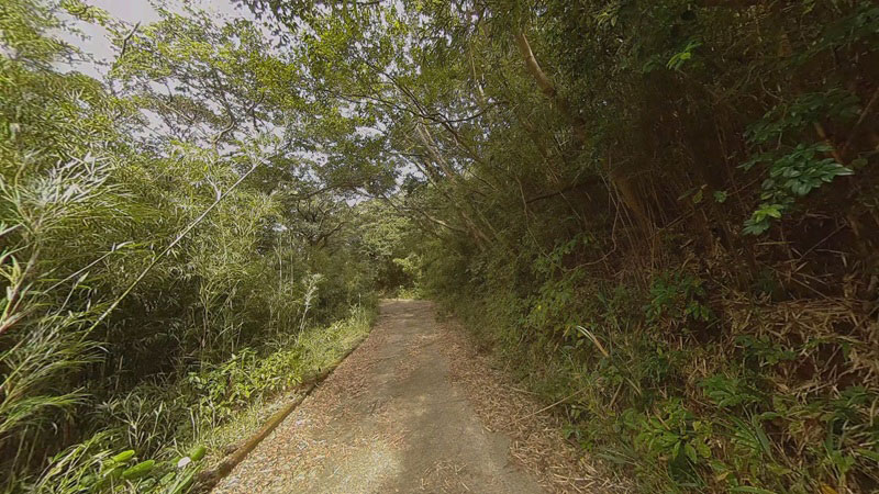
One of the main challenges of the project was maintaining accurate location data in areas with dense subtropical vegetation.
GNSS technology uses signals from satellites to determine precise locations. However, trees, buildings, and other obstacles can block or weaken these signals, reducing positioning accuracy.
The project site was located approximately 600 km away from 360tvr’s office, and all equipment had to be transported by ferry. Due to the remote location and limited access, the entire mapping operation needed to be completed successfully during a single visit.
Mapping under canopy and inside tunnels
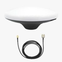
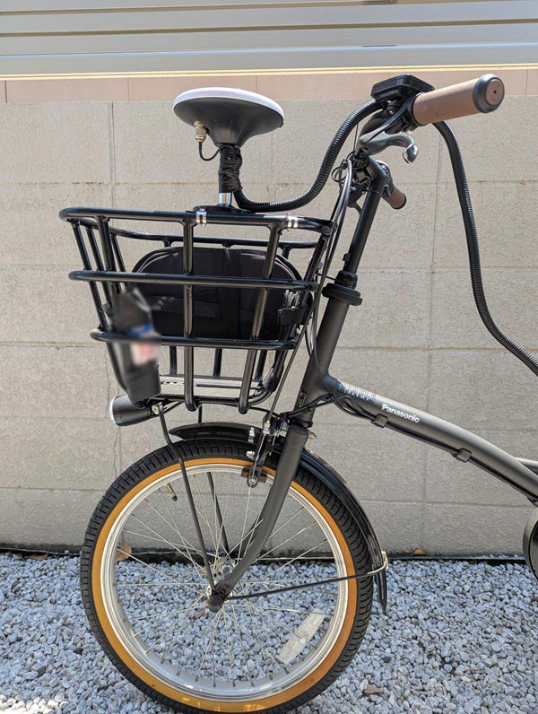
To achieve centimeter-level positioning accuracy, 360tvr integrated the following ArduSimple products into their mapping setup:
simpleRTK2B Fusion with u-blox ZED-F9R: It was selected because of its sensor fusion capabilities. By combining GNSS data with motion sensor information, it helps provide smoother positioning when mapping tunnels and other areas where satellite visibility can temporarily decrease. The module requires advanced configuration and is intended for use on wheeled vehicles only.
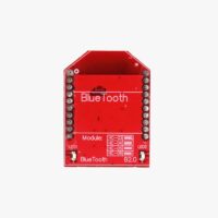
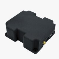
Bluetooth module allowed wireless connection to the GNSS receiver, making operation easier in the field.
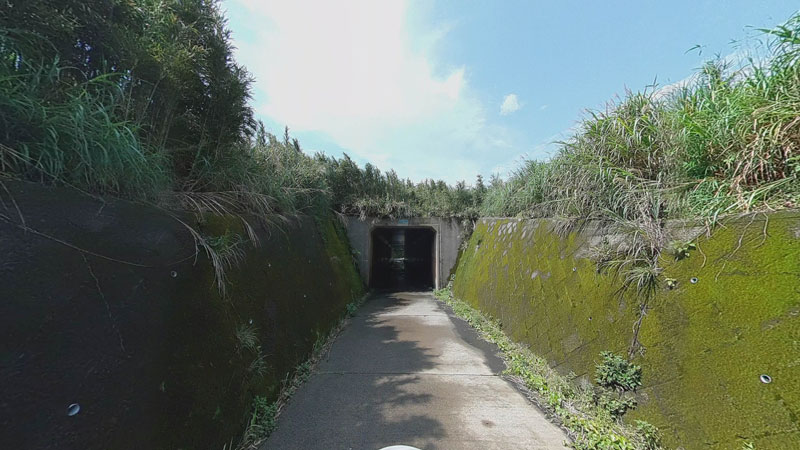
During the survey, trees and tunnels occasionally affected the GNSS signal reception. In these situations, the sensor fusion capability of the simpleRTK2B Fusion helped maintain stable positioning by combining satellite data with movement information from the vehicle, allowing the team to continue mapping with confidence.
Project results
360tvr completed the mapping of all 10 remote islands, including 7 islands that had not previously been available on Google Street View.
The project created a detailed digital record of these areas, providing useful information for future infrastructure inspections and maintenance activities. Having accurate location data makes it easier to understand conditions on the ground and plan future work more efficiently.
This project demonstrates how precise positioning technology can help overcome the challenges of surveying remote locations, especially where access is limited and reliable data collection is essential.
Japan’s Southernmost Geopark: Iōjima Island, Mishima Village, Kagoshima Prefecture, with Kyushu Electric Power Transmission and Distribution Co., Inc.



 and
and  How to get a quotation