
 and
and 

Surveying equipment explained: RTK Smart Antennas vs Total Stations vs Theodolites

If you’re starting in surveying, construction, civil engineering or geomatics, you’ve probably heard people talking about RTK GNSS, total stations, and theodolites. At first glance they all seem to do the same thing—they help you measure locations.
But in reality, they provide different information. In this guide we’ll explain each technology in simple language, so you can choose the right one for you.
What are you actually trying to measure?
Imagine someone asks you: “Where is this point?“
There are several ways to answer. You could say: “It’s 15 meters from that tree.” Or “It’s at GPS coordinates 41.40338°, 2.17403°.” Or “It’s 3.4 meters in exactly that direction“.
Theodolite
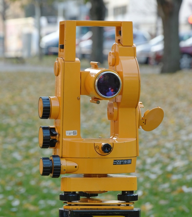
A theodolite is the simplest of the three instruments. It measures horizontal and vertical angles with very high precision. Think of it as an extremely accurate protractor mounted on a tripod.
On its own, a theodolite cannot measure distance or calculate coordinates. Surveyors use its angle measurements together with other tools and calculations to determine positions. Because of this, field work often requires two people—one operating the theodolite and another holding targets or measuring distances.
Total Station
A total station combines a theodolite with a laser distance meter and an onboard computer. By measuring both angles and distance to a reflective prism, it calculates the precise coordinates of a point.
In a typical survey, one person operates the total station while another carries the prism from point to point. Modern robotic total stations can automatically track the prism, allowing a single surveyor to work alone, but these systems are considerably more expensive.
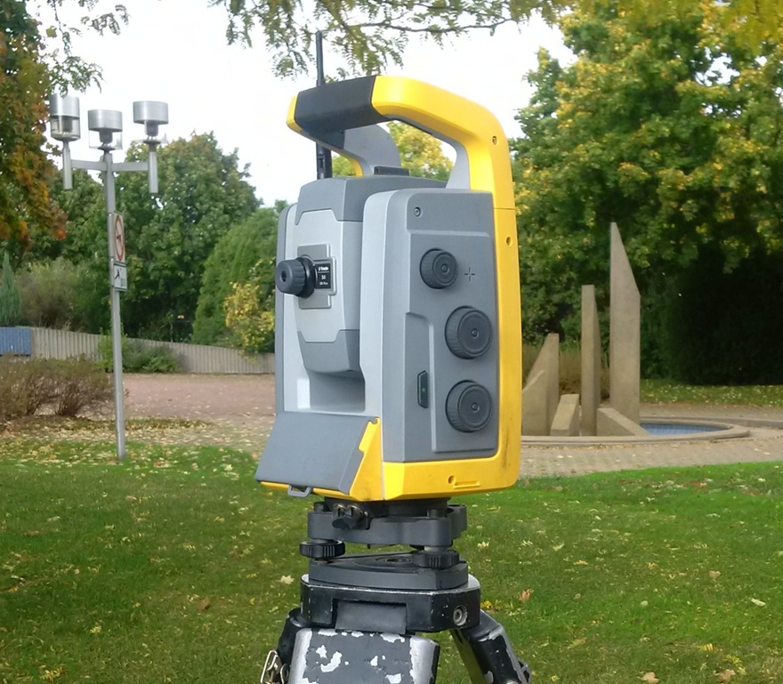
The main limitation is that the instrument needs a clear line of sight to the prism. If a building, vehicle, or dense vegetation blocks the view, measurements cannot be taken.
RTK Smart Antenna
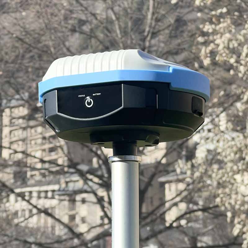
An RTK Smart Antenna is a modern surveying instrument used to determine the precise coordinates of a point. Like a total station, its purpose is to tell you exactly where something is. The difference is that instead of measuring angles and distances to a target, it calculates its own position using GNSS satellites and RTK corrections.
A standard GPS receiver, like the one in a smartphone, can usually locate you within a few meters. RTK survey equipment uses Real-Time Kinematic (RTK) technology to improve positioning accuracy, allowing the receiver to achieve centimeter-level precision. If you want to learn more about how RTK works, check out our guide on RTK in detail.
Which surveying device to choose?
For most outdoor surveying projects, an RTK Smart Antenna is the most efficient choice. It provides centimeter-level positioning with a single operator, fast data collection, and no need for line of sight between measured points.
A total station is mainly chosen when RTK cannot be used, such as indoors. Its ability to measure angles and distances independently makes it a valuable tool for these specific situations.
A theodolite was the traditional surveying instrument used before modern total stations and GNSS-based systems became widely available and affordable. It does not directly provide distances or coordinates, additional measurements and calculations are needed, making it less practical for modern surveying workflows.
| Theodolite | Total Station | RTK Smart Antenna | |
|---|---|---|---|
| Cadastral surveying (property boundaries) | No | Yes, for local work in small areas | Yes, Excellent for fast coordinate collection over large areas) |
| Absolute position accuracy (knowing the exact coordinates on Earth) | No | Yes, but requires connection to known geo reference points | Yes, excellent choice |
| Large outdoor area surveying | No | Possible but slower | Yes, fast and efficient |
| Surveying inside tunnels | Yes | Yes, best choice | No, does not work indoors |
In practice, many surveying teams use RTK Smart Antenna as their primary tool and keep a total station as a complementary instrument for situations where satellite-based positioning is not usable.
Related products


RTK Assistant
Find the best products for your application in just a few questions.