Update (30/07/2026): We have plenty of stock of all our products, find us also in and    How to get a quotation

Learn

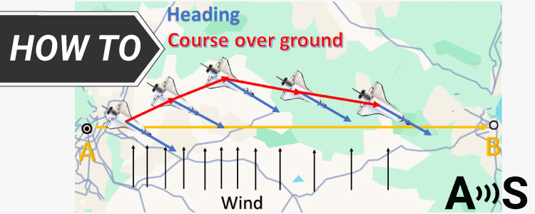
How GPS can help you measure the real heading of your vehicle cover

How GPS can help you measure the real heading of your vehicle?

In the context of GNSS and GPS, we often encounter terms such as heading, course, track,  yaw etc. This can be confusing at times because they are frequently (incorrectly) used interchangeably in conversations. Heading By definition though, heading determines the direction in which a vehicle, a boat or a plane is facing.  In GPS receivers […]

How GPS can help you measure the real heading of your vehicle? Read More »

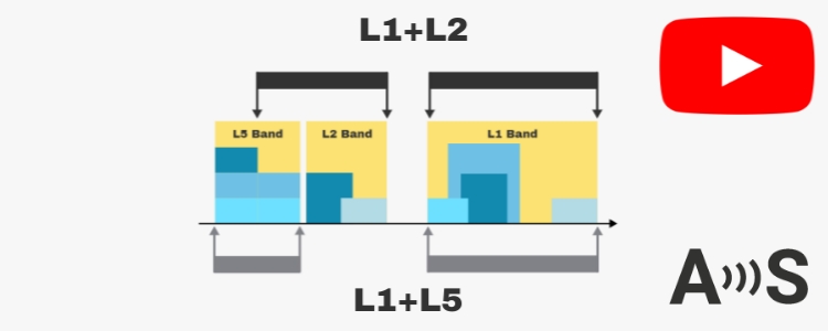
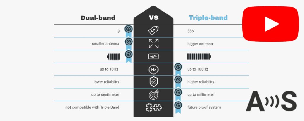
L1+L2 vs L1+L5: Which dual-band GNSS RTK receiver is better today?

Are you navigating the complex world of RTK receivers and wondering which option is the best for your needs? Delve deep into the technical aspects of dual band GNSS/RTK receivers, focusing on a comprehensive comparison between the L1L2 and L1L5 models. Is L1/L5 really cheaper then L1/L2? Does L1/L5 outperform L1/L2? Should you switch to

L1+L2 vs L1+L5: Which dual-band GNSS RTK receiver is better today? Read More »

Understanding ROS: How to Get Started with Robotics Operating System for Beginners

What is ROS? ROS (Robot Operating System) is a framework designed for building robotic systems. It is not an actual operating system in the traditional sense, but rather a meta-operating system that runs on top of a host operating system (such as Linux).  It provides a middleware layer that abstracts the hardware and offers a

Understanding ROS: How to Get Started with Robotics Operating System for Beginners Read More »

Introduction to coordinate reference systems a.k.a “I have an offset on all my RTK positions!”

It might have happened to you: your RTK receiver is in RTK FIXED, reporting centimeter precision and you are happily doing very accurate measurements. You go back to your desk and compare your results with the measurements from another day or from another person. And you get a big surprise: there is an offset! It’s

Introduction to coordinate reference systems a.k.a “I have an offset on all my RTK positions!” Read More »

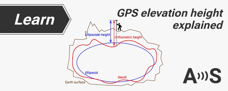
GPS elevation height explained Ellipsoidal, Orthometric, Geoid

GPS elevation height explained: Ellipsoidal, Orthometric, Geoid

Table of contents Many customers get confused with the different heights (altitude) reported by their GNSS receiver.In this post we will show the concept of each one with plain words (we apologize to all surveyors and scientists that read this post). Ellipsoidal height: Planet earth shape is simplified as a rugby ball (ellipsoid).Ellipsoidal height is

GPS elevation height explained: Ellipsoidal, Orthometric, Geoid Read More »

What is RTK GNSS?

Table of contents If you have ever used GPS on your phone, you already know the basics of GNSS positioning. Your device receives signals from satellites and calculates where you are. But have you ever wondered why your phone can only locate you within a few meters, while some drones, robots, and surveying equipment know

What is RTK GNSS? Read More »

Got any questions or requests?
Contact us! We'll answer <24 hours!

Contact ArduSimple
Close
ArduSimple – high precision RTK survey equipment and solutions made simple

Want to learn more about GPS and RTK?

If you are busy right now, our engineers can send you 3 short e-mails, explaining all you need to know to start your project.