Reliable archaeological surveys with low cost RTK kit
Mapping a bronze age cemetery in Sellindge, UK
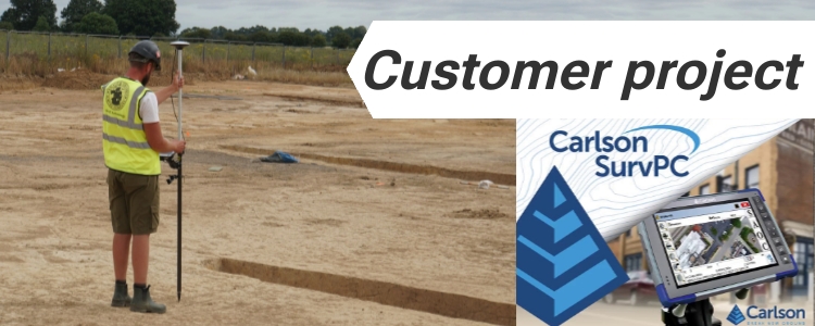
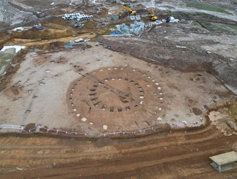
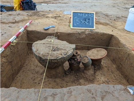
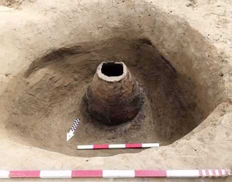
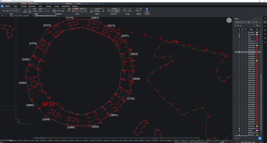
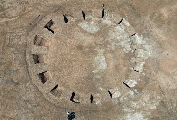
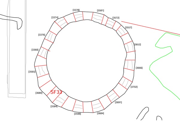
A team of archaeologists recently carried out a detailed survey at a Bronze Age barrow cemetery near Sellindge, Kent, UK. The site includes several burial mounds/barrows and traces of ancient settlements. During the work, an inverted-urn cremation burial was also uncovered in the center of one of the barrows, making precise documentation even more important (you can view major excavation interim report here). To record these features accurately for CAD and GIS analysis, the team needed an affordable but still reliable and centimeter-accurate RTK kit.
Low-cost RTK kit that works with Carlson SurvPC
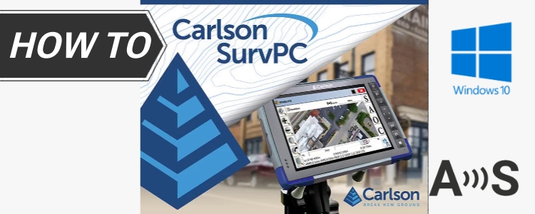
Instead of using high-cost GNSS equipment, the team tested a more affordable solution. They used the RTK Calibrated Surveyor Kit connected to a Panasonic FZ-G1 tablet running Carlson SurvPC.
Many field users don’t know that ArduSimple kits are compatible with Windows-based tablets. The archaeologist chose the FZ-G1 because of its rugged build and support for both Bluetooth and mobile data (4G). The kit was attached using a €119 Tablet holder, replacing a Leica holder + clamp setup costing over €575. The archaeologist noted that the holder worked well even in rough conditions—like crossing uneven terrain or climbing over features—keeping the tablet firmly in place.
Field Results: accuracy and ease of use
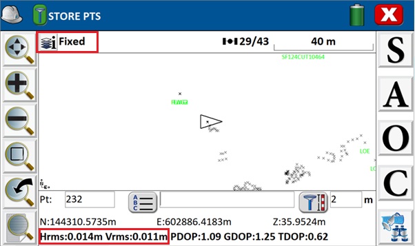
Once set up, the system achieved RTK Fixed accuracy in the field:
Horizontal accuracy: ~1.4 cm
Vertical accuracy: ~1.1 cm
The Carlson SurvPC software made it easy to record, label, and view each point directly on the map. Points could be drawn as lines or polygons and later exported to DWG, DXF, or SHP formats for further work in the office.
This workflow gave the team a simple and repeatable way to document archaeological features on-site with professional-grade accuracy —at a much lower cost than traditional systems — ready for further analysis in BricsCAD Lite.
Would you like to try this setup on your own excavation?
 and
and  How to get a quotation