
 and
and 

Mapping fiber networks with high accuracy GNSS RTK receiver

On this page
Products used in this tutorial

Customer challenge: map fiber connections
The Municipality of Vindeln, Sweden, needed a simple and cost-effective solution for documenting newly installed fiber network infrastructure with centimeter-level accuracy. Traditional high-end total stations and professional surveying equipment can be very expensive, making it impractical to equip every field crew member with a precision mapping device.
The goal was therefore to provide the entire team with affordable RTK equipment that would allow crews to perform accurate measurements independently in the field. At the same time, data needed to be available instantly across the organization, without manual file handling or post-processing.
GNSS RTK mapping solution
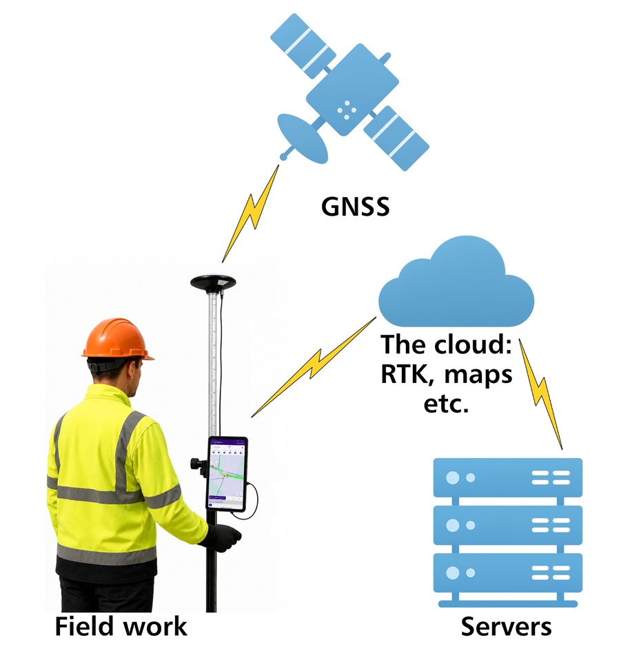
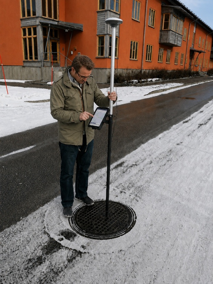
The Municipality found an intuitive, cloud-connected RTK surveying solution that included the RTK Calibrated Surveyor Kit paired with the Inside Field app running on a tablet. The system delivered real-time, centimeter-accurate positioning, with all measurement data automatically synchronized to the cloud as it was collected.
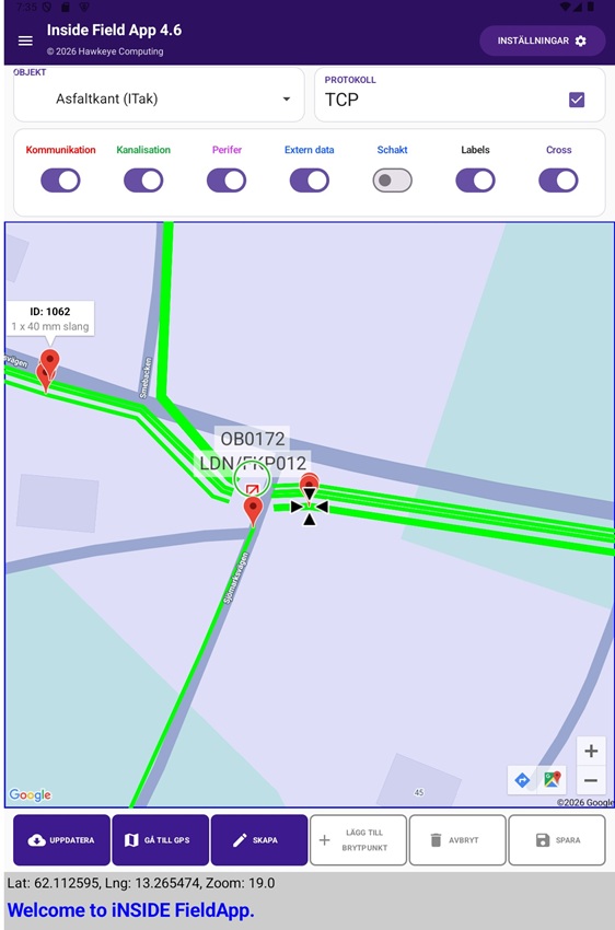
Field operators had immediate access to previously measured RTK data, background maps, and fiber network information. Different map layers can easily be enabled or disabled depending on the task at hand. The solution also allows operators to accurately stake out existing assets using RTK guidance.
Results
The Vindeln has streamlined its field documentation process by eliminating the need to manage measurement files manually. All collected data is stored securely in the cloud in real time, providing a single, always up-to-date source of information.
The affordability of the RTK Calibrated Surveyor Kit and Inside Field makes it practical to equip every field team with their own RTK solution. As a result, crews always have the necessary equipment available, improving efficiency, reducing delays, and enabling accurate documentation whenever and wherever work is performed
Related products
Would you like to build your own robot running on ROS and centimeter-level navigation? Our products provide the reliability and accuracy you need.

Still having issues?
Contact us for support from a real engineer—not AI—or request the tutorial you’re missing