Video tutorial: Create centimeter-accurate 3D maps with a non-RTK drone


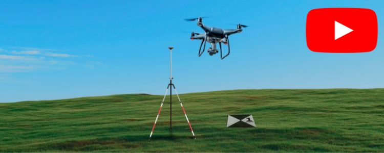
Have a basic drone without RTK but still want to create centimeter-accurate 3D maps? You can.
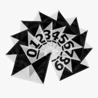
In this video tutorial, you’ll learn to place ground control points, plan and fly a mapping mission, use the ArduSimple RTK Calibrated Surveyor Kit to turn your photos into precise 3D maps.
 and
and 


