Overview This customer project comes from Aryonix, founded by Alexandre Cavaleri. Aryonix develops a real-time rendering engine capable of creating cinematic, photorealistic and immersive ...
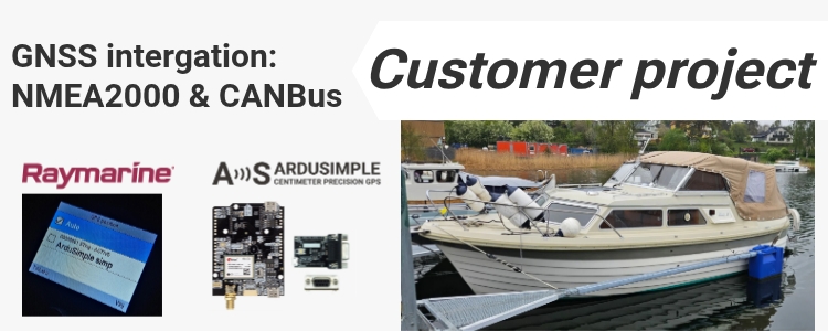
Table of contents A sailing yacht equipped with a Raymarine EV-100 autopilot has been successfully upgraded with a high-precision GNSS system based on an ...
We are excited to introduce the new u‑blox ZED‑X20D evaluation board, designed for centimeter-level positioning and high-precision heading. With two GNSS antennas, the board ...
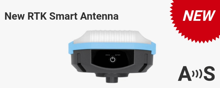
https://www.youtube.com/watch?v=lw98kjCjMbM ArduSimple has introduced the RTK Smart Antenna, a new type of high-precision GNSS receiver designed to be configurable, modular, and repairable. It allows ...
Looking for a IP67 weatherproof plastic enclosure for your project? We spent some time looking for something off-the-shelf like this, to be able to ...
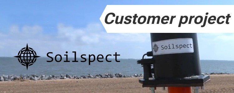
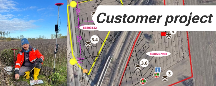
Survey objective: precise mapping of drainage and soil conditions Across several Finnish municipalities, the Maa-Akatemia (Soil/Land Academy) team studied how water moves through farmland ...
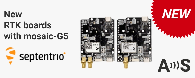
Meet new RTK boards with mosaic-G5 module! The new mosaic-G5 complements, not replaces, the mosaic-X5 and mosaic-H. Let’s compare them in detail: Comparison of ...


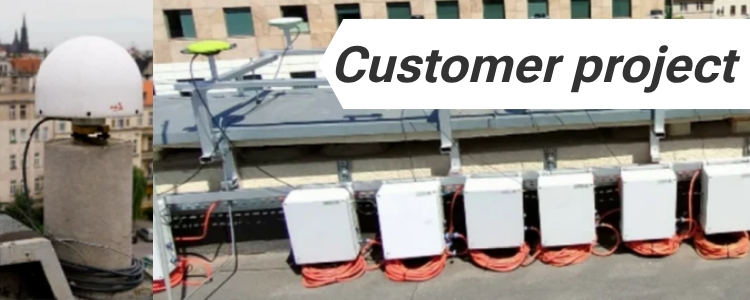


 and
and  How to get a quotation